
Beantwoord enkele vragen, en binnen seconden geeft AI je een persoonlijk aankoopadvies op maat.
Beantwoord enkele vragen, en binnen seconden geeft AI je een persoonlijk aankoopadvies op maat.

Die Lüneburger Heide, das größte zusammenhängende Heidegebiet Mitteleuropas, ist aufgrund ihrer einzigartigen Landschaft ein bedeutender Tourismusschwerpunkt im Norden der Republik. Allein im Kern des Gebietes, im 234 km² großen Naturschutzgebiet Lüneburger Heide um den Wilseder Berg, werden jährlich mehr als vier Millionen Besucher gezählt. Viele davon erkunden die Heide auf eigenen Füßen. So kann es nicht verwundern, dass zahlreiche Wanderwege das Gebiet erschließen, darunter auch einige Fernwanderwege. Jüngster Fernwanderweg durch die Heide ist der 222 km lange Heidschnuckenweg. Der erst 2012 eingeweihte, vom Deutschen Wanderverband zertifizierte Qualitätswanderweg hat es in kürzester Zeit bereits unter die Top 10 der deutschen Fernwanderwege geschafft. Er verläuft von Hamburg im Norden bis nach Celle im Süden durch die schönsten und spannendsten Regionen der Lüneburger Heide.Die 4. überarbeitete Neuauflage enthält zudem die neuen Heideschleifen, 12 Rundwanderwege mit einer Streckenlänge zwischen 1,4 und 20,9 Kilometern. Detaillierte Karten im Maßstab 1:50.000 und GPS-Tracks, die heruntergeladen werden können, ergänzen die Beschreibungen und helfen unterwegs bei der Orientierung. Der Heidschnuckenweg; Flora, Fauna u. Entwicklungsgeschichte; Reise-Infos von A bis Z; Routenbeschreibung des Heidschnuckenweges mit Heideschleifen in 18 Etappen
€17,95
Bekijk product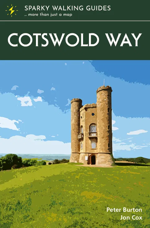
The beauty of the Cotswolds is in no way lessened by its popularity, and the Cotswold Way leads you through the best of this most comforting of regions. The trail follows a snaking path along the western edge of the hills for 102 miles, from the pristine market town of Chipping Campden to the stately city of Bath – through deep-cut valleys and over beech-clad hills, across open pasture and past ancient barrows. You are never far from a view of the Severn Vale and the Welsh hills, or from a welcoming pub in a village of amber-hued stone. * the latest 1:25,000 OS mapping, with the trail highlighted so you can see it at a glance * information nuggets throughout bring the countryside alive – past and present, seen and unseen * a handy slip-into-your-pocket design, with cover flaps to mark your page * planning info – practical help to plan your hike, including an overview map of the whole trail * stage descriptors, giving you an overview of what to expect on each leg * accommodation ideas – B&Bs, hotels, pubs and campsites close to the path * links to inspirational resources – websites and books to help you dive deeper * flora & fauna – pictorial guides to nature’s riches along the trail
€20,95
Bekijk product
The Ridgeway - possibly the country’s oldest path - follows the central section of the mighty swathe of chalk that cuts across England from the Dorset to the Norfolk coasts. Between Avebury in Wiltshire and Ivinghoe Beacon in Buckinghamshire, it winds, undemandingly, for 87 miles along a trail of two halves, with the Thames providing its midpoint. The wide-open spaces of the bare North Wessex Downs are rich in prehistoric treasures and soul-cleansing views, while the Chilterns to the east are cosier, more populated, more heavily wooded. Step out and back in time on this classic ancient route. * the latest 1:25,000 OS mapping, with the trail highlighted so you can see it at a glance * information nuggets throughout bring the countryside alive – past and present, seen and unseen * a handy slip-into-your-pocket design, with cover flaps to mark your page * planning info – practical help to plan your hike, including an overview map of the whole trail * stage descriptors, giving you an overview of what to expect on each leg * accommodation ideas – B&Bs, hotels, pubs and campsites close to the path * links to inspirational resources – websites and books to help you dive deeper * flora & fauna – pictorial guides to nature’s riches along the trail
€20,95
Bekijk product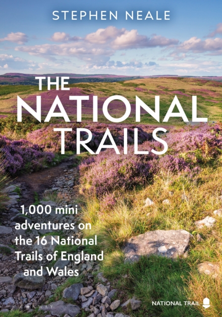
Exploring each of our 17 unique and varied National Trails, this beautiful and inspiring guidebook highlights over 1,000 adventures to enjoy along the way. Our National Trails encapsulate and embody the character of England and Wales, ensuring that people from all different backgrounds can enjoy our nation's most precious asset: 24/7 access to the wild outdoors. Following on from Stephen Neale's successful guides to the England Coast Path and the South West Coast Path, the publication of this book coincides with the opening of the Coast to Coast Path National Trail in 2025 (a 197-mile route from St Bees in Cumbria to Robin Hoods Bay in the North York Moors). This guide is the first to feature all 17 of the National Trails, from the Cleveland Way to Hadrian's Wall Path and the Thames Path, from the South West Coast Path to the Pennine Way and the Cotswold Way, and promotes a more accessible and modern take on the traditional 'turn left at the stile' walking guide. Read on for the story of how our National Trails were created in the first place, and the best places for backpacking, wild swimming, ruins, views and packrafting. And of course 1,000 fantastic places, adventures and highlights to be found on or around our wonderful and unique National Trails. Walked and researched by the author over many months, beautifully designed and crammed with stunning photography, this is an inspiring and practical guidebook.
€27,95
Bekijk product
Wandelgids van een deel van Engeland. Deze gids bevat 28 dagwandelingen, variërend van korte tochten tot pittige dagtochten. De bijbehorende kaarten zijn uitstekend: men heeft de topografische kaarten van Ordnance Survey gebruikt waarop de route is ingetekend. Daarnaast praktische informatie over de wandeling en wat beschrijvingen van het gebied. Each of the Jarrold Pathfinder titles features 28 circular routes, all tried and tested by seasoned walkers. The routes range from extended strolls to exhilarating hikes, so there is something for everyone. They also contain: -Ordnance Survey mapping; -background details of each area; -details of refreshment stops and parking; -walking safety advice; and -information about walkers and the law
€18,50
Bekijk product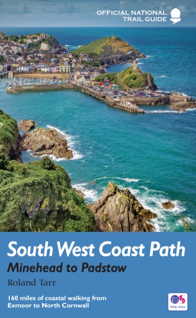
Goede beschrijving van een deel van het beroemde South West Coast path in Cornwall. Men heeft gebruik gemaakt van zeer gedetailleerde kaarten van Ordnance Survey. Part one of the official four-part series covering Britain's longest National Trail in detail. Contains easy to follow Ordnance Survey mapping for individual sections, detailed route descriptions for the National Trail and shorter, circular walks off it. Full colour throughout. The South West Coast Path is the spectacular 630-mile (1008-km) National Trail around the tip of Britain. This volume features the section of the Path from Minehead to Padstow, a distance of 163 miles (262 km). The Trail traces the beautiful coastline, through Exmoor National Park, Clovelly and Tintagel, following Natural England's acorn waymarks. This is the complete, official guide for the long distance walker or the weekend stroller. All you need is this one book. National Trail Guides are the official guidebooks to the fifteen National Trails in England and Wales and are published in association with Natural England, the official body charged with developing and maintaining the Trails.
€20,95
Bekijk product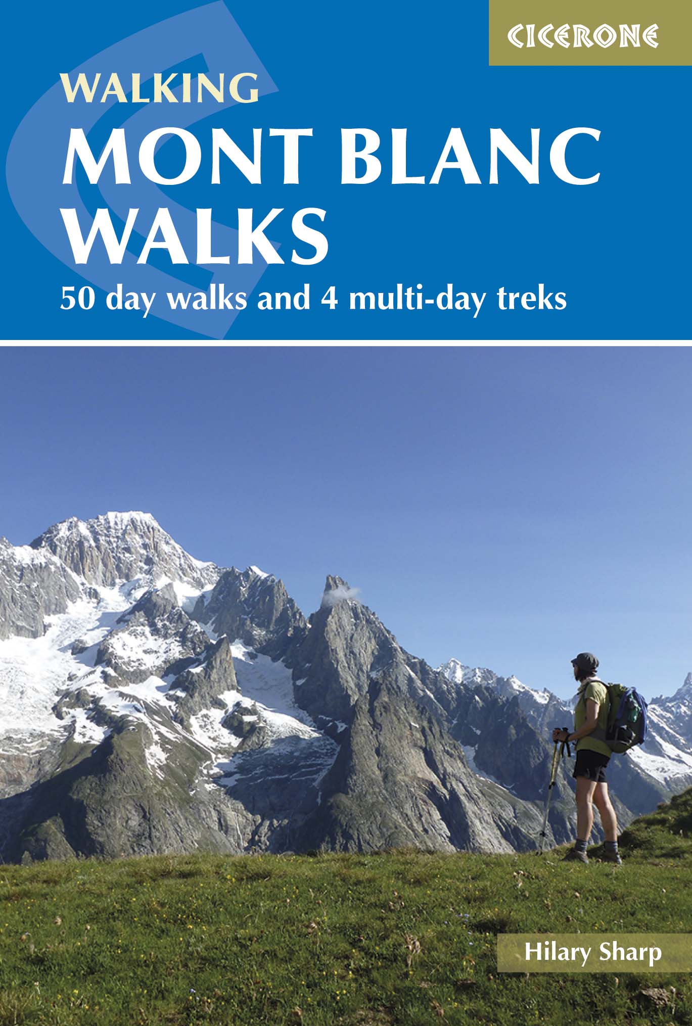
Uitstekende wandelgids van dit geweldige gebied. goed beschreven met veel praktische informatie om de route te kunnen lopen, inclusief redelijke kaarten. A guide to walking and trekking routes, on both the French and Italian sides of Mont Blanc (Monte Bianco), from Chamonix or Courmayeur. Includes 50 day walks and 4 short multi-day treks for Vallorcine to Plaine Joux, Tour des Aiguilles Rouges, Vallorcine to Servoz and a circuit of the Italian Val Ferret. New, updated edition with 50 new route maps. Seasons Mid-June to mid-September is the main season; before this there will be snow at higher and possibly lower levels, and earlier and later the huts will not be open. Centres St Gervais, Les Contamines, Servoz, Les Houches, Chamonix, Argentiere, Vallorcine and Courmayeur on the Italian side Difficulty mainly day walks, with some shorter walks and 4 short treks; ranges from easy to tough routes for experienced high-mountain walkers Must See Lac Blanc, the balcony routes, the Chamonix Aiguilles, Mont Blanc on clear days and (even better) clear evenings; Alpine flowers and wildlife
€22,95
Bekijk product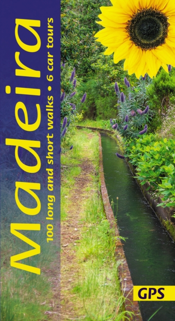
Wandelgids: vele dagtochten worden degelijk beschreven met openbaar vervoer informatie, goede routebeschrijvingen en kaartmateriaal. Tevens enkele autotochten. Deze gids staat goed bekend! Engelstalig, want nederlandstalige is uitverkocht en niet meer leverbaar. The go-to Madeira travel guide for over 30 years. Strap on your boots and discover Madeira on foot with the Sunflower Madeira travel guide. And on the days when your feet may have had enough, enjoy some spectacular scenery on one of our legendary car tours. The Sunflower Madeira guide is indispensable for hiking in Madeira or seeing Madeira by car. Not only has this 14th edition been updated to take into account treks recently out of bounds for one reason or another, but the format of the book has been expanded with larger type and a wider layout. The maps have been annotated with waypoints, and there are free downloadable GPS tracks for all the walks. While dedicated hikers will revel in the island’s mountainous terrain (Madeira is one of Europe’s top destinations for mountain walks), walking the ‘levada’ paths is one of the most popular activities with visitors. Levadas are watercourses that carry rainfall from the mountains to irrigate the cultivated terraces. Whatever your age or ability we’ve got some glorious walks and car tours to ensure you have a memorable Madeira holiday. Inside the Sunflower Madeira guide book you’ll find: 100 long and short walks for all ages and abilities – each walk is graded so you can easily match your ability to the level of walk Topographical walking maps – give you a clear sense of the surrounding terrain Free downloadable gps tracks – for the techies Satnav guidance to walk starts for motorists 6 car tours and fold-out touring map – for easy reference on your tour Strolls to idyllic picnic spots – enjoy our recommendations for where to picnic along the way Timetables for public transport – ideal if you want to link two walks or avoid hiring a car on your holiday Online update service for the latest information Includes Funchal (guide) town plan and coastal walk Whether you tour the island by car or explore on foot, this book – which first introduced levada-walking to a large audience – has been the guide to Madeira’s countryside for more than 30 years. We look forward to showing you around.
€24,95
Bekijk product