Beantwoord enkele vragen, en binnen seconden geeft AI je een persoonlijk aankoopadvies op maat.
Beantwoord enkele vragen, en binnen seconden geeft AI je een persoonlijk aankoopadvies op maat.

Detailed map of the meeting and Mauritius published by ITM. On the front, map of Mauritius (1:90 000) with Rodrigues (on a scale 1: 140 000). Plans of the center of Port - Louis and Curepipe included. On the back, detailed map of the meeting at scale 1: 80,000. The islands are presented with altitude and listed points, as well as with the names of the different topographic characteristics (mountains ...). National parks and other protected areas are highlighted. Index of cities included.
€12,95
Bekijk product
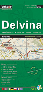
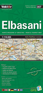
Albania map edited by VEKTOR. This very detailed map gives very precise tourist information. Ideal for preparing your trip to Albania. Scale 1/250 000
€11,95
Bekijk product
Goede geplastificeerde wegenkaart, schaal 1:950.000, van Griekenland.
€7,95
Bekijk product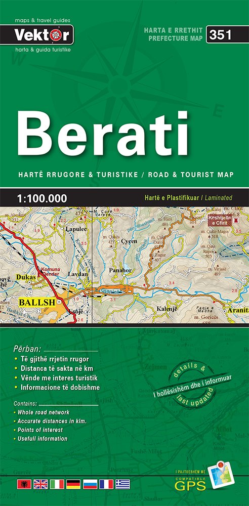
Detailed water resistant map, GPS compatible and upgrades. Index of municipalities included. This map show a lot of useful information for those visiting the area.
€10,95
Bekijk product