
Beantwoord enkele vragen, en binnen seconden geeft AI je een persoonlijk aankoopadvies op maat.
Beantwoord enkele vragen, en binnen seconden geeft AI je een persoonlijk aankoopadvies op maat.
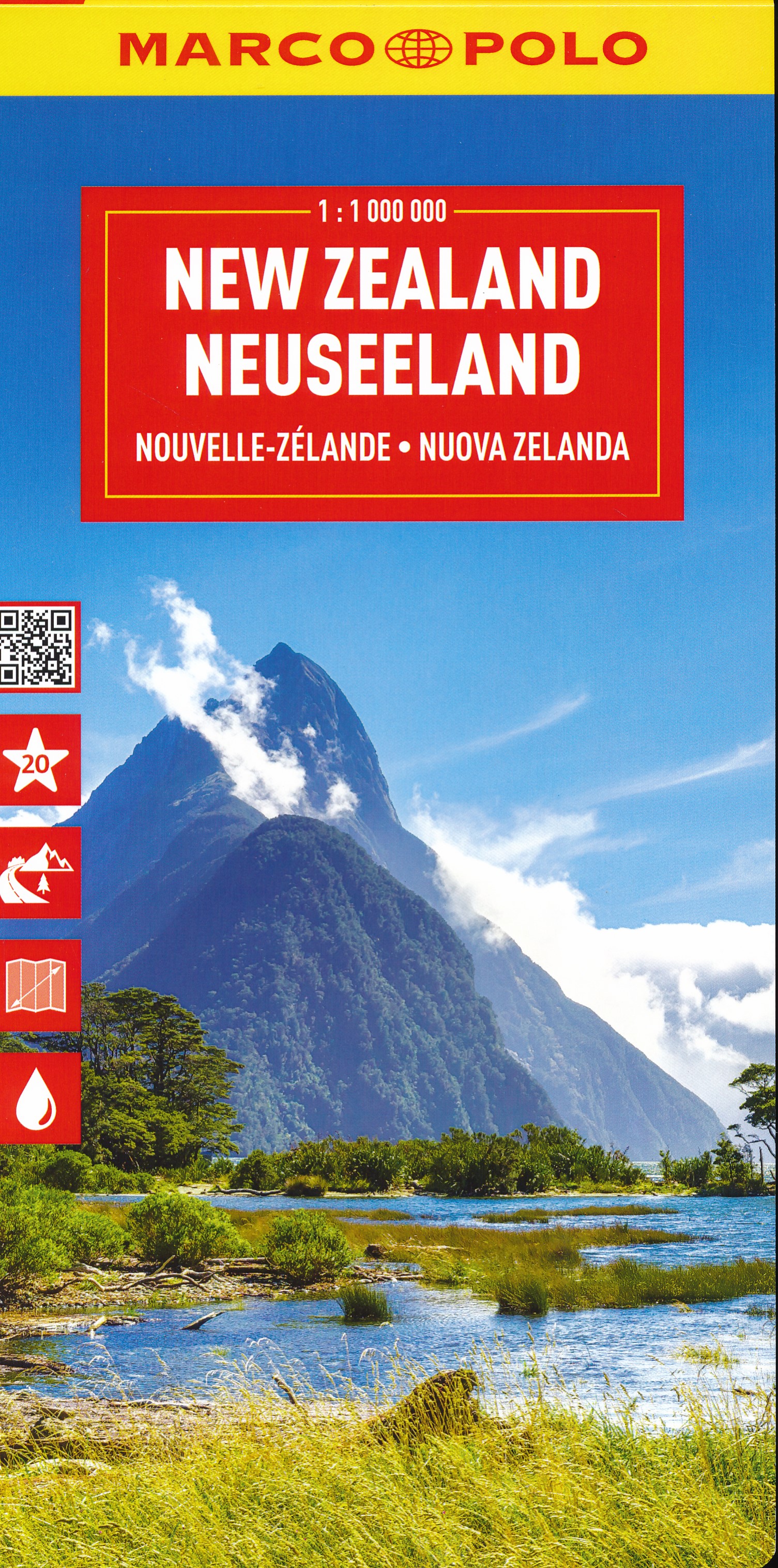
Duidelijke wegenkaart van Marco Polo: alle wegen, zowel de verharde als belangrijke onverharde wegen zijn weergegeven. Mooie toeristisch interessante wegen die de moeite waard zijn, zijn groen gearceerd. Veel toeristische informatie is toegevoegd zoals de nationale parken, campings, kastelen en vliegvelden. Afstanden tussen belangrijke steden en benzinestations staan ook op de kaart. Een plaatsnamenregister ontbreekt niet. Entdecken Sie mit dieser MARCO POLO Karte das Land der Gegensätze . . . Die Karten bestechen durch eine leicht lesbare, neue Kartografie, in der durchgängig landschaftlich schöne Strecken und Orte markiert sind. Schon in der im Kartendeckel befindlichen, ausklappbaren Übersichtskarte sind die schönsten Orte mit Highlightsternen gekennzeichnet und gelben oder grünen Markierungen unterlegt, um unterwegs auch wirklich nichts zu verpassen. Wo alle Orte auf der Karte zu finden sind, ist im Registerheft nachzuschlagen. Sprachen: Deutsch, Englisch, Französisch, Italienisch Hauptkarte 1: 1 Mio., beidseitig bedruckt, Übersichtskarte, Index: mehrsprachige Legende (D, GB, F, NL, I, E, CZ, PL), 20 MARCO POLO Highlights, Verkehrs- und Reiseinformationen, digitales Ortsregister mit Postleitzahl, Bundesland, Gemeindezugehörigkeit und Suchfeldangabe, Blattübersicht.
€14,95
Bekijk product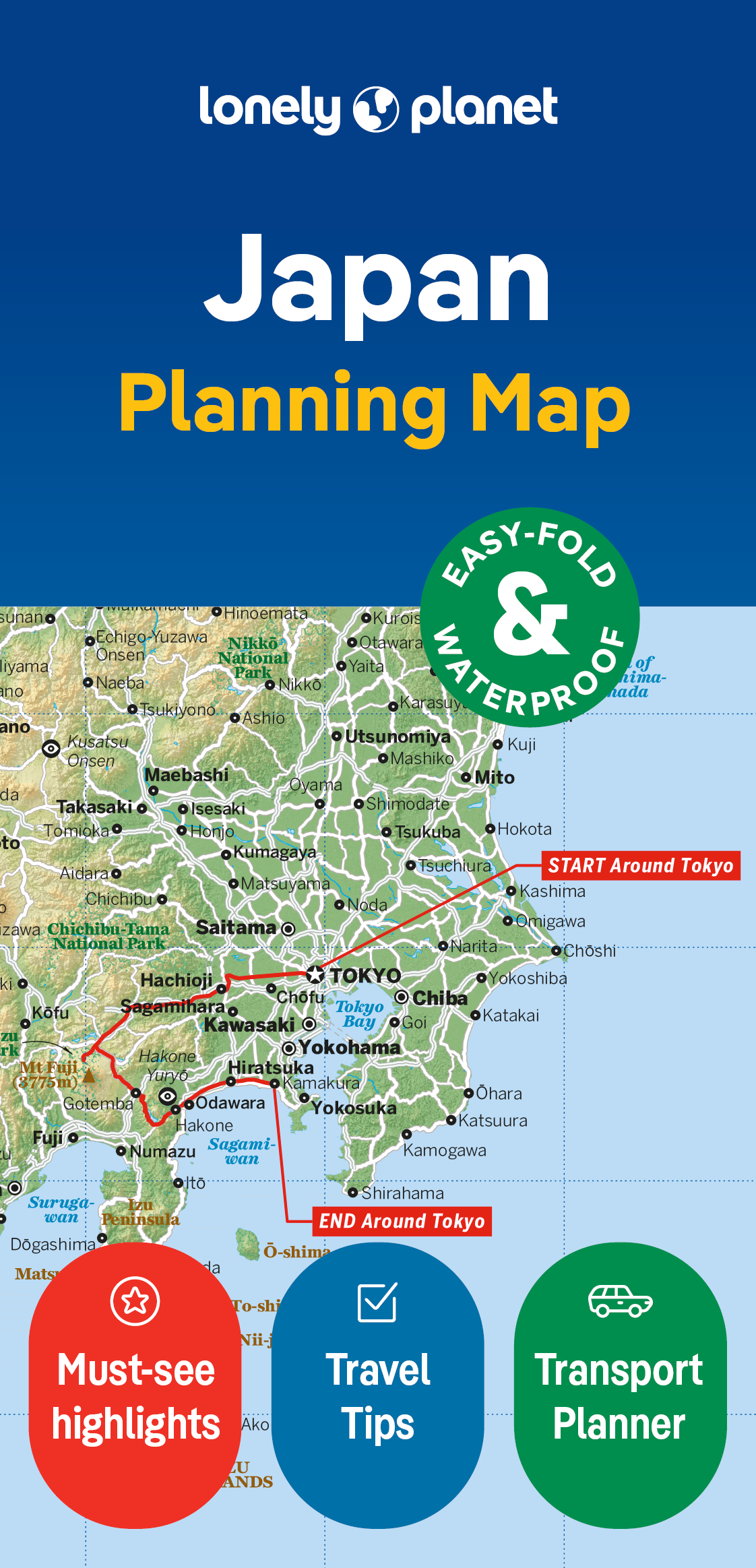
Durable and waterproof, with a handy slipcase and an easy-fold format, Lonely Planet's Japan Planning Map is your essential navigation tool. This full-colour map features accompanying images and information about top attractions, itinerary suggestions, a transport guide, themed lists and practical travel tips. Durable and waterproof Easy-fold format and convenient size Handy slipcase Full colour and easy to use Before-you-go info Beautiful imagery Tailored itineraries Can't-miss regional highlights Detailed town index Transport planner Themed lists Covers Tokyo, Mt Fuji, Izu Peninsula, Nikko, Kyoto, Nara, Osaka, Koya-san, Naoshima, Himeji, Hiroshima, Miyajima, Kagoshima, Matsuyama, Fukuoka, Takayama, Tsumago, Magone, Kanazawa, Kamikochi, Sapporo, Niseko, Shikotsu-Toya National Park, Matsushima Looking for more extensive coverage? Check out Lonely Planet's Japan, our most comprehensive guidebook to Japan, covering the top sights and most authentic offbeat experiences. About Lonely Planet: Lonely Planet is a leading travel media company, providing both inspiring and trustworthy information for every kind of traveller since 1973. Over the past four decades, we've printed over 145 million guidebooks and phrasebooks for 120 languages, and grown a dedicated, passionate global community of travellers. You'll also find our content online, and in mobile apps, videos, 14 languages, armchair and lifestyle books, ebooks, and more, enabling you to explore every day. 'Lonely Planet guides are, quite simply, like no other.' New York Times 'Lonely Planet. It's on everyone's bookshelves; it's in every traveller's hands. It's on mobile phones. It's on the Internet. It's everywhere, and it's telling entire generations of people how to travel the world.' Fairfax Media (Australia) Durable and waterproof, with a handy slipcase and an easy-fold format, Lonely Planet's Japan Planning Map is your essential navigation tool. This full-colour map features accompanying images and information about top attractions, itinerary suggestions, a transport guide, themed lists and practical travel tips.
€10,95
Bekijk product
&; Waterproof &; Tear-Resistant &; Travel Map National Geographic's Sierra Nevada Destination Map strikes the perfect balance between map and guidebook and is an ideal resource for touring the rugged landscape of this culturally and geographically unique region of California and Nevada. The front side of the print map reveals a detailed map of the region stretching from the Oregon border to California's Eldorado National Forest, bordered by the Sacramento Valley to the west and Nevada's Great Basin to the east. Modoc, Shasta-Trinity, Lassen, Plumas, and Humbolt-Toiyabe National Forests are also included on the map. The map features a comprehensive road network including scenic byways as well as areas of interest such as Indian Reservations, National Parks and Monuments, and Recreation Areas. Trails, historic sites, museums, cultural centers, scenic areas, state parks and other points of interest are also included. In addition, the map features beautiful photographs and information on the region's culture, heritage and outdoor adventures. The reverse side of the map features a detailed map of the area stretching from California's Eldorado National Forest to Sequoia National Forest. Other areas of interest included on the map are Stanislaus, Humbolt-Toiyabe, Sequoia, Sierra, and Inyo National Forests, Yosemite National Park and Wilderness, John Muir Wilderness, Kings Canyon National Park, and Sequoia National Park. In addition, the map includes a chart of the region's National Parks and Monuments as well as travel tips, photographs and information on the natural beauty of the region and its changing landscapes. Key Features: Chart of national parks and monuments highlighting services, recreation opportunities and contact information Colorful photographs featuring the region's diverse terrain Comprehensive road network, scenic byways, local infrastructure, and abundant natural, historical, and cultural places Beautiful photographs and valuable travel information aids travelers with pre-trip planning and on-the-ground adventures Every Destination Map is printed on durable synthetic paper, making them waterproof, tear-resistant and tough &; capable of withstanding the rigors of any kind of travel. Map Scale = 1:543,000 Sheet Size = 25.5'' x 37.75'' Folded Size = 4.25'' x 9.25'
€17,50
Bekijk product
The Isle of Skye In Your Pocket is our new essential map for visiting Skye. The front has exceptionally clear road mapping of the whole island showing main tourist attractions, EV charge points and full index to places & tourist attractions. The reverse has detailed town maps of Portree and Broadford at 1:14,000, useful travel information and glorious full colour photographs of some of the famous sights - you will want to visit them and many more. Don't leave home without it! Featuring: Exceptionally clear, fully indexed road mapping Detailed town plans of Portree & Broadf ord EV charging points and tourist attractions shown Travel information and glorious full colour photographs
€7,95
Bekijk product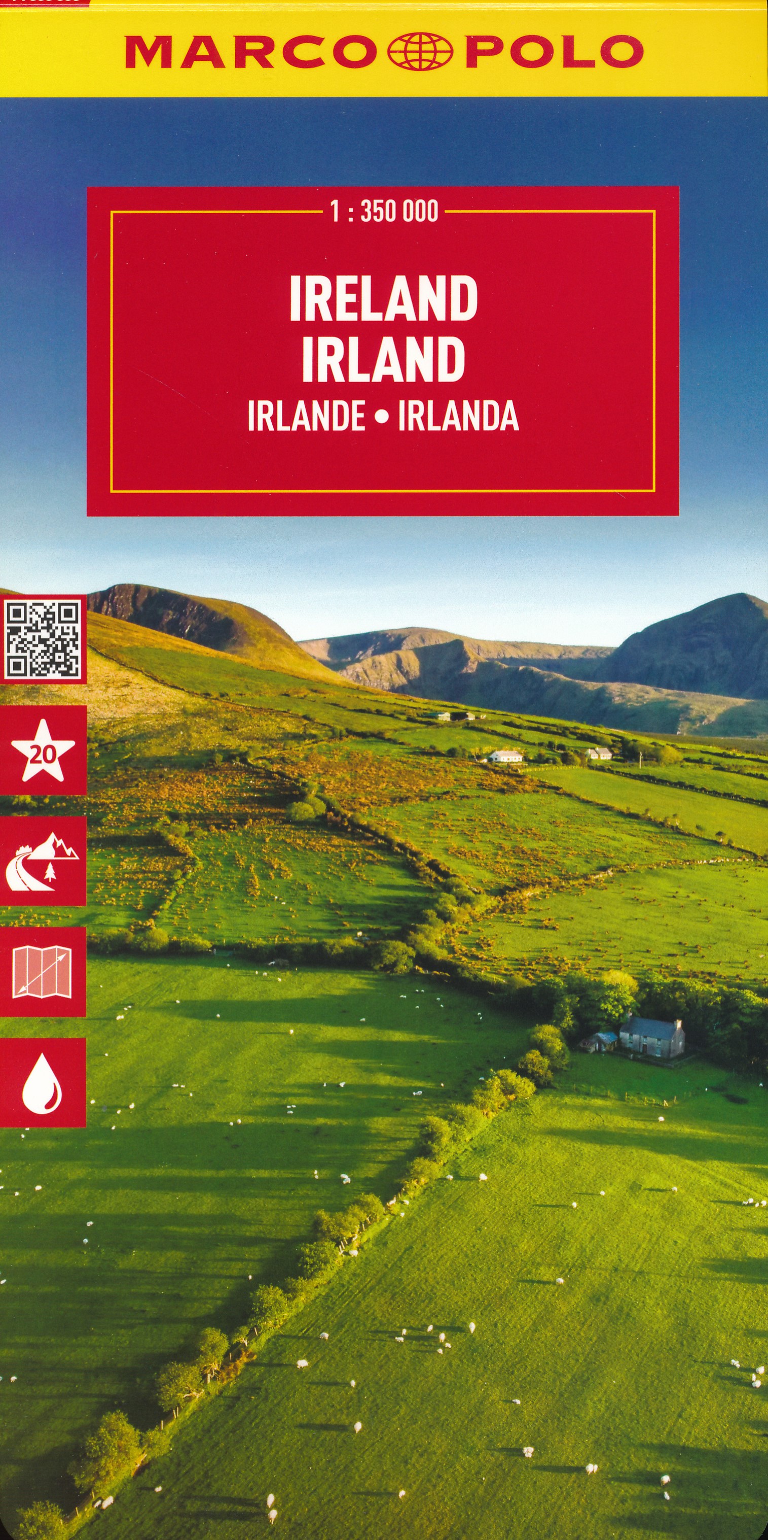
Duidelijke wegenkaart van Marco Polo: alle wegen, zowel de verharde als belangrijke onverharde wegen zijn weergegeven. Mooie toeristisch interessante wegen die de moeite waard zijn, zijn groen gearceerd. Veel toeristische informatie is toegevoegd zoals de nationale parken, campings, kastelen en vliegvelden. Afstanden tussen belangrijke steden en benzinestations staan ook op de kaart. Discover picturesque towns and dramatic coastlines with this highly durable, detailed touring map of Ireland. It folds away easily and is always on standby to help when you're stuck. Perfect touring map - the scale is 1 : 350 000 ideal to help you tour the country by car or campervan Easy to use - the superbly clear mapping in strong colours and easy to read text will help you navigate the country like a local Durable, tear-resistant map - designed to withstand the rigors of the road, the map is printed on tear-resistant, water repellent and writeable paper Highlights included - major sights and key points of interest are marked on the map by numbered stars. Further information about these key sights can be downloaded via a QR code where you’ll find a brief description to help you pick the best places to see en-route Dream routes - inspirational routes with beautiful scenery are included on the maps to guide you on your next adventure Extensive index - the thorough index, also included on the QR code, is fully cross-referenced to the map to help you pinpoint your destination quickly
€14,95
Bekijk product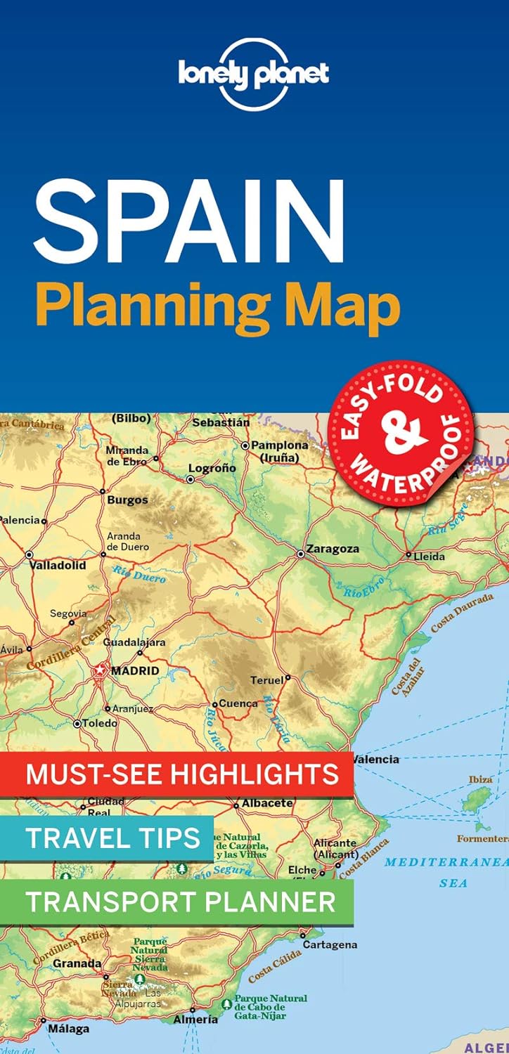
From Lonely Planet, the world's leading travel guide publisher Durable and waterproof, with a handy slipcase and easy-fold format, Lonely Planet's Spain Planning Map helps you get around with ease. Get more from your map and your trip with images and information about top country attractions, itinerary suggestions, a transport guide, planning information, themed lists and practical travel tips. With this easy-to-use, full-colour map in your back pocket, you can truly get to the heart of Spain. Durable and waterproof Easy-fold format and convenient size Handy slipcase Full colour and easy to use Before-you-go info Beautiful imagery Tailored itineraries Can't-miss regional highlights Detailed town index Transport planner Themed lists Covers Madrid, Barcelona, Costa Brava, Basque Country, La Rioja, The Pyrenees, Salamanca, Asturian Coast, Santiago de Compostela, Toledo, Segovia, AndalucÃ-a, CÃ3rdoba, Seville, Granada, Las Alpujarras, Ronda, Valencia, Menorca, Buñol Looking for more in-depth coverage? Check out Lonely Planet's Spain, our most comprehensive guide to the country featuring its top sights and most authentic offbeat experiences. Prefer just the highlights? Check out Lonely Planet's Best of Spain guide. With inspiring and colourful photos, it focuses on Spain's most popular experiences. About Lonely Planet: Lonely Planet is a leading travel media company and the world's number one travel guidebook brand, providing both inspiring and trustworthy information for every kind of traveller since 1973. Over the past four decades, we've printed over 145 million guidebooks and grown a dedicated, passionate global community of travellers. You'll also find our content online, and in mobile apps, video, 14 languages, nine international magazines, armchair and lifestyle books, ebooks, and more.
€10,95
Bekijk product
Een nieuwe serie die de oude 1:100.000 serie van IGN vervangt: de indeling van deze kaartenserie is gebaseerd op de Franse departementen. Ideale kaart voor fietsen en autotochten vanuit een vaste plaats als een camping of huisje. Zelfs de kleinste wegen staan ingetekend en geven met symbolen toeristische informatie. De belangrijkste doorgaande GR's staan ook ingetekend. Nieuw zijn de VELO Voie Vertes, lokale fietspaden die meestal gemarkeerd zijn; ook deze zijn ingetekend. Het omvat fietsroutes in samenwerking met de vereniging AF3V – VéloRoutes en Voies Vertes. Ook is deze kaart voor wandelaars nog behoorlijk goed bruikbaar: veel details, hoogtelijnen en allerlei andere landschapskenmerken. Berghutten en gites d'etappes zijn weergeven, helaas staan er dan wel weer geen campings op. Van de uitgever: In de cartografie is een grote hoeveelheid toeristische informatie zeer nauwkeurig weergegeven: parken en natuurreservaten, monumenten, kastelen, musea, grotten, uitkijkpunten, toevluchtsoorden, klim- en wildwatersportplaatsen, bewaakte stranden, enz. Een verrijkt netwerk van secundaire wegen, zodat fietstochten in alle veiligheid mogelijk zijn: • Voor ontdekking te voet, de volledige GR® en GR de Pays® • Voor het verkennen per fiets van het volledige lokale wegennetwerk en alle Vélo-routes en Voies Vertes met de AF3V-classificatie met asfalt- of grindwegen, op eigen terrein of gedeeld met andere voertuigen • Voor ontdekking met de auto, het gehele wegennet: nationaal, regionaal, departementaal en secundair. Om de kaart compleet te maken: • reliëf wordt weergegeven door contourlijnen en maatpunten • een index van gemeenten maakt het gemakkelijk om uw weg te vinden Aangepaste productcodes: D + Afdelingsnummer.
€10,95
Bekijk product