
Beantwoord enkele vragen, en binnen seconden geeft AI je een persoonlijk aankoopadvies op maat.
Beantwoord enkele vragen, en binnen seconden geeft AI je een persoonlijk aankoopadvies op maat.

Uitstekende wegenkaart van Sardinië. Meer gedetailleerd dan de Michelin of anderen. Goed leesbaar, met toeristische symbolen. Goede wegenkaart van dit deel van Italië. Met register en enkele stadsplattegronden. De berijdbare wegen zijn goed weergeven, zowel de hoofdwegen als provinciale en lokale wegen; wegnummers worden vermeld. De grotere doorgaande wandelpaden vind je zelfs terug op deze kaart! Afstanden tussen plaatsen zijn in kilometers op de kaart ingetekend, daarnaast worden ook op belangrijke plekken benzinepompen gemarkeerd. In het kaartbeeld wordt door middel van schaduw het reliëf weergegeven en soms enkele punten in het landschap met de daadwerkelijke hoogte. Provinciegrenzen zijn goed terug te vinden, nationale parken en reservaten ook. Met allerhande symbolen worden toeristische bezienswaardigheden weergegeven als monumenten, historisch belangrijke plekken en uitzichtpunten. In bepaalde plaatsen zijn hotels te vinden, luchthavens, treinverbindingen en havens vindt u er ook op! Belangrijk is ook dat op deze kaartenserie de campings ingetekend staan Neben der übersichtlichen Gestaltung verfügt die Straßenkarte Sardinien - Cagliari 1:150.000 über zahlreiche Zusatzinformationen wie z.B. Straßenbeschaffenheit, Sehenswürdigkeiten und Campingplätze und diverse Innenstadtpläne. Mit dem umfangreichen Ortsregister gelingt zudem eine rasche Orientierung. Die "Top 10 Tips" - Reihe bietet ein kleines Beiheft, in dem die zehn wichtigsten Sehenswürdigkeiten in mehreren Sprachen kurz beschrieben sind. (Sprachen: Deutsch, Englisch, Französisch, Italienisch, Niederländisch; Flämisch, Portugiesisch, Slowakisch, Spanisch, Tschechisch, Ungarisch) Top 10 Tips Sehenswürdigkeiten, Citypläne von Cagliari, Sassari, Alghero, Oristano, Nuoro und Olbia; Ortsregister mit Postleitzahlen, doppelseitig; freytag & berndt Autokarten sind für viele Länder und Regionen weltweit erhältlich.
€14,95
Bekijk product
Een degelijke kaart met aanduidingen van o.a. nationale parken, vliegveld, benzinepomp, dirt-roads. Als overzichtskaart goed te gebruiken. This is a brand new title for ITMB, a double-sided map covering the ‘core’ regions of Japan most visited by tourists exploring Japan. Side 1 covers from Tokyo north to Sendai/Nigata and west to Nagoya. Side two covers all of Japan as far as Hiroshima, with insets of the Osaka/Kobe and Kyoto/Nara regions. Naturally, all touristic attractions are noted. Legend Includes: Roads by classification, Rivers and Lakes, National Park, Airports, Points of Interests, Highways, Main Roads, Zoos, Fishing, and much more...
€13,95
Bekijk product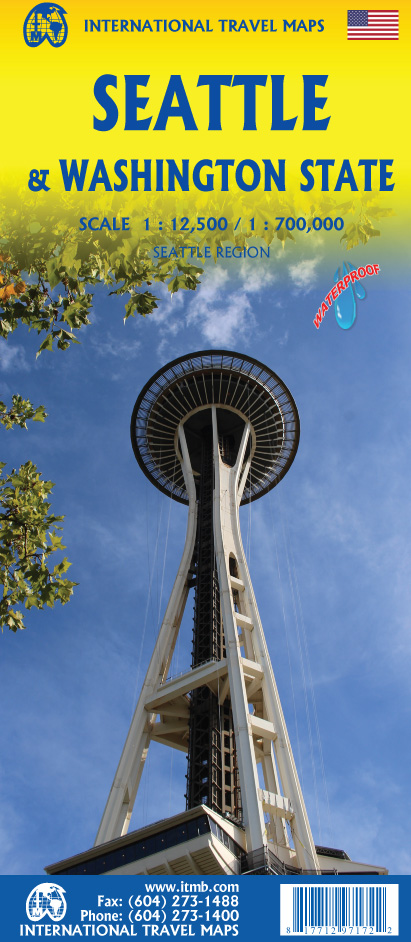
This is a new title for ITMB, in that it is the first time we have mapped the State of Washington. The actual area of the map includes Portland and northern Oregon and Vancouver and the border area with the USA. A small portion of Idaho is also shown. Wilderness campsites, parks such as Rainier, Olympic, and Baker, are shown. Seattle as a city, stretches far beyond the confines of a practical map in that it stretches from Everett to Tacoma. Our map covers from the University in the north to the Beacon Hill neighbourhood in the south and from the waterfront to Lake Washington. An inset map of the greater region is included. The rapid transit line is also included on the map and on the back cover. The reverse side of the sheet shows all the roads of Washington State in excellent Olympic, and Baker, state parks, touristic sites, beaches, ferry routes, native reserves, motorways, and even the ill-fated Hanford nuclear site are included. The map is printed on ITM waterproof paper for durability. Legend Includes: Roads by classification, Rivers and Lakes, National Park, Airports, Points of Interests, Mining, Highways, Main Roads, Zoos, Fishing, , and much more...
€13,95
Bekijk product
Australia was one of the first countries ITMB published, back in the 1980s, albeit a licensed version. Our own original artwork was completed in the mid-1990s, but until recently, we have not focused on sectional maps of the country based on individual states. In 2019, we published Brisbane and Queensland, and Sydney and New South Wales. Now, we are issuing the ‘middle’ states of South Australia and Northern Territory to provide better coverage of these important parts of Australia at a better scale than a country map could provide. South Australia can be thought of as having two parts; the fertile farming economy surrounding Adelaide in the south and the much more arid northern portion. The road network in the south tends to be well developed, with paved roads going more or less east-west to NSW and WA. Northerly roads tend to be gravel or dirt, such as the Birdville Track, and the north-westerly roads tend to pass through land ceded to aboriginals and require permits. Northern Territory occupies the second side. It is state-like, if not legally a state, and occupies a huge area. The north-south highway from Darwin through Alice Springs to SA is the main transportation route of the territory, with one highway going to NSW and a partly-paved one to QLD. ITMB can supply maps of Adelaide and Darwin by other publishers. Legend Includes: Roads by classification, Rivers and Lakes, National Park, Airports, Points of Interests, Mining, Highways, Main Roads, Zoos, Fishing, , and much more...
€13,95
Bekijk product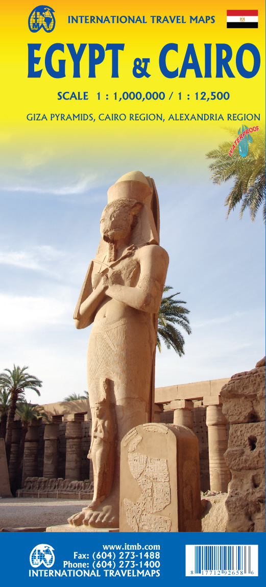
Following the so-called Arab spring of a few years ago, northern Africa experienced much turbulence. Egypt experienced the overthrow of the government, the installation of a radical religious-oriented replacement, and the installation of military governance. Tourism plummeted. Most map publishers discontinued their maps of the country. Five years later, Egypt has stabilized and tourism is growing. We feel that the time is right to re-introduce our ITMB map of Egypt. This version focuses on the portions of the country that have been re-opened for tourism, which means from the Mediterranean coastline south to the Aswan Dam. The portion further south remains closed for the moment, as is the border crossing with Sudan. We have also been forced to leave off the Great Sand Sea and the Western Desert portions for the same reason of unrest, as the border areas with Libya remain very unstable. However, we have provided a large inset map of Egypt, covering everything, in the area of desert. We have also added a listing of Egypt’s Top Attractions, which wasn’t hard to prepare, as Egypt is loaded with 5,000 years of temples, pyramids, and tombs. The other side of the sheet is a detailed map of Cairo, with an inset of the Giza Pyramid complex just to the west of Cairo, and another inset of the Cairo region showing all the known tombs west of the Nile River south to Helwan. The back cover is a schematic map of the rapid transit system of Cairo. There is a third inset, showing Alexandra and other associated urban areas along the coast. The map is printed on stone paper, which is waterproof, durable, and long-lasting. It is also biodegradable. Legend Includes: Roads by classification, Rivers and Lakes, National Park, Airports, Points of Interests, Mining, Highways, Main Roads, Zoos, Fishing, , and much more...
€13,95
Bekijk product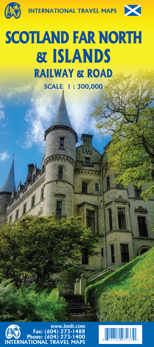
Great Britain, by its shape, is difficult to map. The population is dense, the road network intense, and the coastline convoluted. A map of the British Isles shows only the major features. Sectional maps of just England, or Just Wales, make little sense, due to the geographic shape of the island kingdom. Scotland also needs more than one map to show its treasures in sufficient detail. ITMB previously issued Scotland Central and South, and now extends its coverage at 1:300,000 to the sparsely-populated highlands and the isolated Western, Orkney, and Shetland island archipelagos that are usually shrunk to insignificance on most maps, as insets. This double-sided map covers the area from Loch Lochy south of Invergarry to John O’Groats in the north, and from the Western islands of Uist and Lewis to the Moray Firth and Craigellachie in the east. The second side has to duplicate part of the first side in order to extend the artwork further eastward to include Aberdeen and northward to include the wonderful island chains known collectively as the Shetlands and Orkneys. This map instills a sense of history, of adventure, and of being ‘off the beaten path’. It is the Islands and Highlands part of Scotland where Gaelic is still commonly spoken and castles abound, where one can lose oneself traversing single-lane roads across barren moors, or enjoy fishing villages such as Ullapool, or re-visit momentous events in history at Culloden. This is the heart of Scotland. Legend Includes: Roads by classification, Rivers and Lakes, National Park, Airports, Points of Interests, Mining, Highways, Main Roads, Zoos, Fishing, , and much more...
€13,95
Bekijk product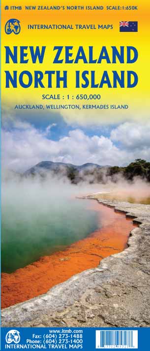
ITMB is very pleased to be expanding our coverage of New Zealand with the release of this fourth title (the others being the country map, the South Island, and Auckland). At this expanded scale, it takes both sides of the sheet to show off the attractions of the northern half of NZ, but the shape of the island provides ample space for a large inset of Auckland and more modest ones of the city region and of New Zealand’s public transport network on side one. Side two has an excellent inset map of Wellington and includes the northernmost portion of South Island, with the ferry connection linking the two islands. At this scale, the place names and road network are very readable, and there is lots of room to show attractions and touristic points of interest. The map also includes our Top Attractions list of must-sees, such as Napier Rotorua, and the Hobbitown Movie Set of Lord of the Rings fame.
€13,95
Bekijk product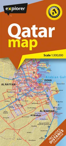
Explorer's latest Qatar map is the most current and comprehensive one to date. With pinpoint accuracy and an easy-to-read design, the whole of the country is covered along with an overview of its dynamic capital, Doha. Using the most up-to-date mapping resources and information available, the map shows all the cities, towns and villages, as well as key points of interest including hotels, airports, souks, historic areas and major highways. There is also a handy key and referencing system to help you find your way around, making this map the perfect travel accessory for holidaymakers, commuters and residents.
€13,95
Bekijk product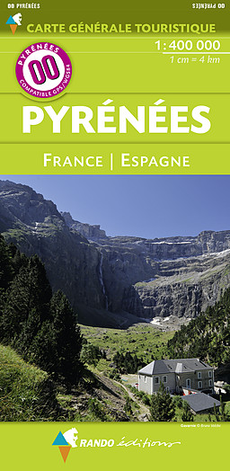
Toeristische kaart van de Pyreneeën (Frankrijk en Spanje), uitgegeven door Rando editions. Deze kaart is ideaal om de franse en spaanse kant van de Pyreneeën te verkennen. Indicatie van toeristische plaatsen, wegen, schaduwrijk reliëf, index van plaatsen.
€15,95
Bekijk product
Een bijzonder handige kaart van het noordelijk deel van Bretagne, waarop het lange afstands pad Sentier des Douaniers - Het Douane pad - de GR34 heel duidelijk is ingetekend. Verwacht niet enorm veel detail, de schaal is immers 1:100.000, maar deze route is met deze kaart goed te lopen: de markering is uitstekend en de loop van de route - langs de kust - zorgt ervoor dst verdwalen nauwelijks mogelijk is. Deze kaart beschrijft de Douaneweg - Chemin des Douaniers (GR34) - die bijna 1000 kilometer lang langs de gehele Bretonse kust loopt. Vanaf de baai van Mont-Saint-Michel, gelegen in het Kanaal tot bijna aan de Île de Crozon in Finistère Groot voordeel van deze opzet is dat je het als wegenkaart of fietskaart heel goed kunt gebruken.
€11,95
Bekijk product