
Beantwoord enkele vragen, en binnen seconden geeft AI je een persoonlijk aankoopadvies op maat.
Beantwoord enkele vragen, en binnen seconden geeft AI je een persoonlijk aankoopadvies op maat.
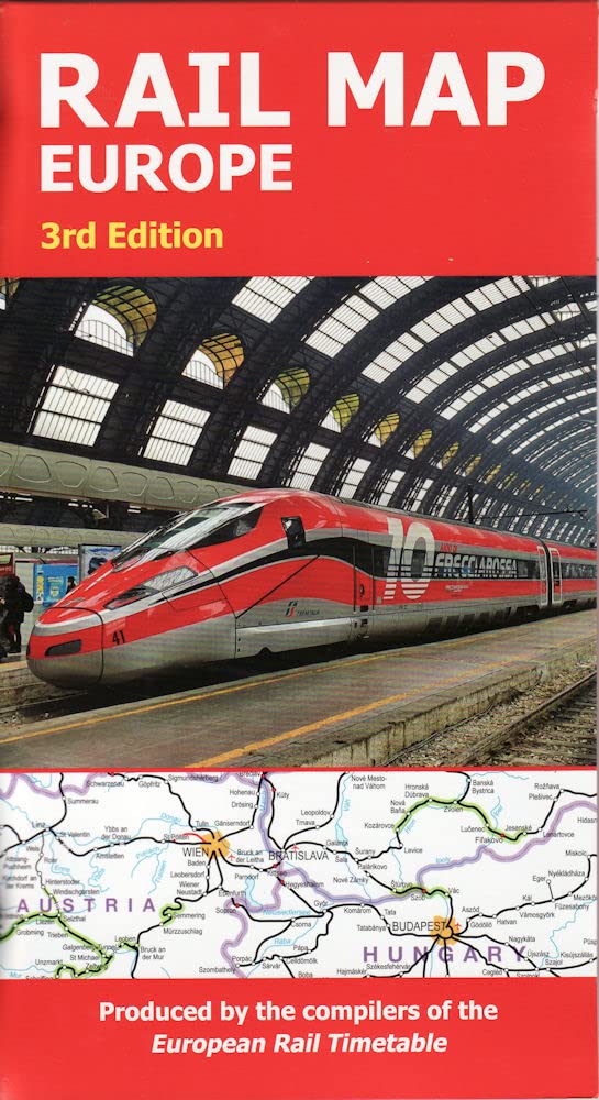
<p> The definitive rail map for today's independent traveller This is the 3rd edition of the map which includes the latest high speed routes and updates (as of December 2021) This map seeks to show all passenger rail routes in Europe (other than those of the suburban networks of major cities) and is the ideal companion to the European Rail Timetable. Important Tourist Railways are also shown, many of which operate only during the tourist season. -Features every mainline railway route across Europe -Colour coding for all high-speed routes -Highlighting for scenic lines -Also includes some principal tourist and heritage lines (services on these lines may not run all year or on every day of the week)</p>
€19,95
Bekijk product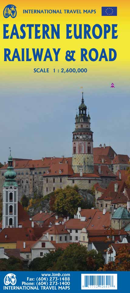
<p> Spoorwegen kaart van Oost Europa in kleur. Schaal 1:2,600,000. Toont spoorlijnen, snelwegen, secundaire wegen en andere wegen, veerboten en belangrijke scheepvaartdiensten; internationale grenzen, de grenzen van de gebieden met reisbeperkingen; bergen met de hoogte in meters. Met index van plaatsen. Schaal 1:2,600,000. . Gedrukt op twee zijden.</p> <div> ITMB is pleased to announce the release of the final regional map covering Europe at an enhanced scale. Europe may be small in comparison to Canada, but it is densely populated and difficult to map as a continent while providing detail. Eastern Europe used to be defined as everything behind the Iron Curtain during the Cold War, but now it encompasses everything east of Germany and Switzerland, which means that this map covers Italy, Greece and the Balkan countries, the Central European countries of Romania and Hungary and most of Ukraine, Poland and the three Baltic states, and western Russia as far east as Volgograd, as well as much of Turkey. It is a combined road and rail map, showing motorways and major highways, fast-train routes in red and regular services in black. It also shows major cruise line routes, although many have been suspended due to Covid and political situations in Russia and Turkey. Essentially, this is a map covering a very large area, as are our maps of Western and Central Europe, and our earlier map of Scandinavia. We have tried to make it politically correct, which is difficult considering the Russian occupation of Crimea and the Donetsk region of Ukraine and the on-going controversy over the ‘proper’ name for Macedonia, so we apologize for any errors. For simplicity’s sake, we have named most place names in English, so Roma is Rome and Moscva is Moscow etc. Fortunately, most English place names are the same in the local languages. However, being ITMB, Naples is Napoli, and Florence is Firenze, so don’t be too critical of us; we’re trying to reconcile differing perspectives.</div> <div> </div> <div> Legend Includes:</div> <div> Roads by classification, Rivers and Lakes, National Park, Airports, Points of Interests, Highways, Main Roads, Zoos, Fishing, and much more...</div>
€13,95
Bekijk product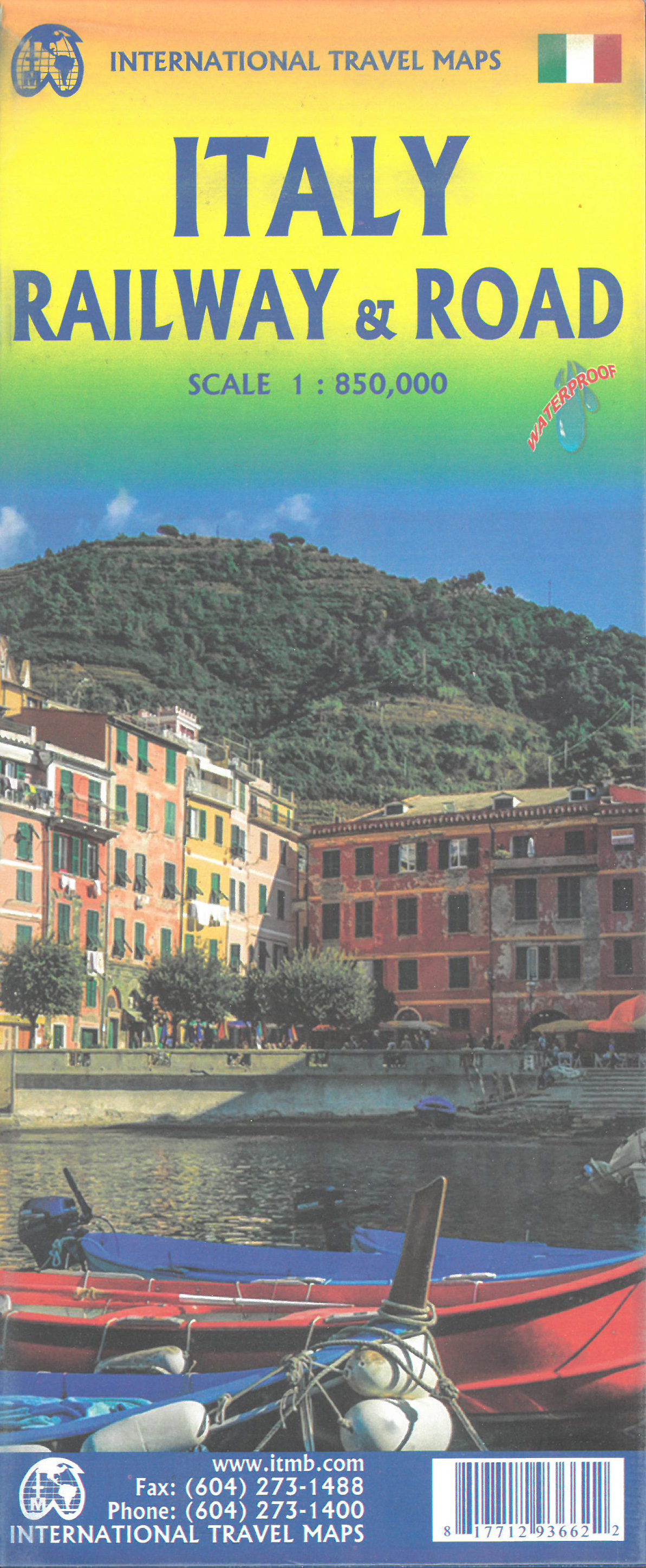
<p> Een degelijke wegen- en spporwegenkaart van Italiëm met aanduidingen van o.a. nationale parken, vliegveld, campings, dirt-road. Als overzichtskaart goed te gebruiken.</p>
€13,95
Bekijk product
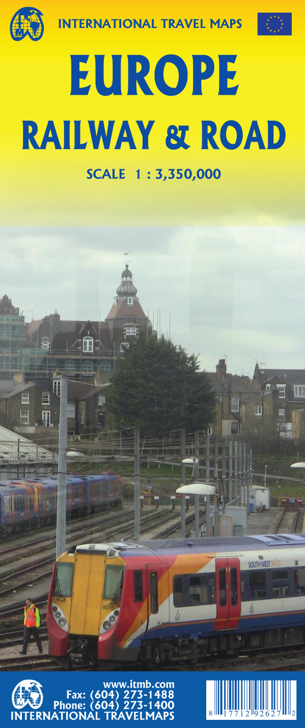
<p> Spoorwegen kaart van West Europa in kleur. Schaal 1:2,500,000. Toont spoorlijnen, snelwegen, secundaire wegen en andere wegen, veerboten en belangrijke scheepvaartdiensten; internationale grenzen, de grenzen van de gebieden met reisbeperkingen; bergen met de hoogte in meters. Met index van plaatsen. Schaal 1:2,500,000. . Gedrukt op twee zijden.</p> <p> This is a new title for ITMB. It focusses on the western half of the European land mass at a much better scale than would be possible for all of Europe. Even at this scale, showing the rail lines and the major roads results in a map with a lot of information on it, but it meets the needs of those travelling around Europe by rail, which is its primary market. It can also be used by those driving, although it would be better for vehicle users to rely on individual country maps. Side 1 covers the British Isles, the Low Countries, Germany, Denmark, the Czech Republic, most of Poland, and southern Scandinavia. The second side covers the Iberian Peninsula, France, Italy, Slovenia, Croatia, Bosnia, Austria, Hungary, and the southern portion of Germany. Trains tend to be used by travellers in Europe for longer trips, say from Frankfurt to Rome, and for this reason our new map should find a good market. There has not been enough room on this map to show many touristically important sites, but where room exists, we have added UNESCO World Heritage sites, major churches, and most international airports. Coverage includes major ferry routes and includes the islands of Majorca, Menorca, Ibiza, Sardinia, Elba, and Corsica, Sicily, and Malta. As the EU evolves, passenger rail service is increasingly becoming a pan-European reality, but German trains running on French lines and Italian trains going north into Austria. This is a timely map; coming out at the beginning of a truly European rail system.</p>
€13,95
Bekijk product
<p> Een degelijke wegenkaart met aanduidingen van o.a. nationale parken, vliegveld. Als overzichtskaart goed te gebruiken.</p> <p> This new version is printed on waterproof paper, more for durability than need, is double sided (south half/north half) in our traditional colours depicting elevations and showing roads, urban areas, attractions, airports, viewpoints, ferry routes, castles and everything else that visitors should want. The road information is very clearly shown, with motorways in blue, divided roads in green, major highways in orange, and secondary routes in red. The bridge from Copenhagen is shown as well as approach roads through Denmark, but only northern areas of Norway and a bit of Finland could be included in order to expand coverage to the max.</p>
€13,95
Bekijk product
<p> Spoorwegen kaart van het westen van de Verenigde Staten in kleur. Schaal 1:1.700.00. Toont spoorlijnen, snelwegen, secundaire wegen en andere wegen, veerboten en belangrijke scheepvaartdiensten; internationale grenzen, staatsgrenzen; bergen met de hoogte in feet. Met index van plaatsen. Afstanden in mijlen. Gedrukt op twee zijden.</p>
€13,95
Bekijk product
<p> Een degelijke kaart met aanduidingen van o.a. spoorlijnen, nationale parken, vliegveld, benzinepomp, dirt-roads en kleine plattegrond van hoofdstad. Als overzichtskaart goed te gebruiken.</p> <p> This is another new ITMB title and extends our sectional coverage of the UK northwards from the southernmost border at Gretna Green through the densely-populated Glasgow/Edinburgh/Stirling conurbation to the highlands. The reason for this sectional map is to provide additional space to show 25% more detail than our map of all of Scotland can provide. The north of Scotland is my favourite part of the country, but there isn’t much there except heather and single-lane tracks across treeless moors. The South, like it or not, is where most of Scotland’s four million people live and where most of the castles, palaces, battlefields, parks, and touristic attractions are located. The map also shows the ferry routes to the outer islands of Arran and Mull, and the most poignant battlefield I’ve ever visited, Culloden, east of Inverness. This was the spot where the clans were slaughtered in 1745, effectively ending the clan system and determining Scotland’s future as a junior partner to England. For history, Scotland is hard to beat, and this map shows the beauty and the majesty of this interesting homeland to excellent advantage. Rail lines have been emphasized.</p>
€13,95
Bekijk product
<p> This edition of France continues a developing strain of European country maps for ITMB – placing an emphasis on train travel. Tourism is changing, or rather, is growing exponentially as more and more people from Asia visit France. Most of these visitors, and for that matter, most visitors from North America, prefer to travel around France by using the excellent rail network, rather than by road. Most map publishers have removed rail lines from their maps in order to concentrate on those people travelling by car. Our map shows the road network in good detail, but our difference is that we show the rail network in excellent detail as well. As a country, France is one of the most popular destinations in Europe, and for good reason. Whether one is interested in the chateaux gracing the Loire Valley or the great cathedrals of Chartres or Reims, or the massive defensive fortresses of bygone years, France offers something for everyone. This is a traveller’s map, whether moving around by rail or by road, its plastic paper ensures it will not tear or crack, and can even be used as an umbrella if one is caught in a sudden rainstorm! We have also included anther feature common to ITM maps, a listing of the top ten attractions in the country – hard to do for France! The map includes dozens of noteworthy attractions, World Heritage sites, and scenic back roads for those wishing to avoid motorways. A favourite of mine is the Salines Royale salt works, southwest of Besancon, which we visited in 2018; fascinating!</p>
€13,95
Bekijk product
<p> This is a new title for ITMB, and continues our expanded coverage of the United Kingdom. Many publishers carry a map of Great Britain (or of the UK), and a few might have one just for England and Wales. We travel extensively through Britain and usually find such maps too generalized for usability. All parts of the UK seem to be blessed with interesting places for a visitor to explore – parish churches, cathedrals, fortresses or castle ruins, market towns, lavish country estates, fabulous gardens, seaside resort towns – the list is endless. The only way to show tertiary-level roads leading to interesting tiny villages with fascinating names, and to portray the wealth of attractions available for the visitor is to divide the UK into logical units, which we did earlier with south East and South West England and now continue to the Scottish border with this map. Coverage is from Birmingham/Peterborough north to York on side one and from Lancaster north to the Scottish border at Berwick-upon-Tweed. As the border angles in a southwesterly angle, the map also includes much of the Scottish border region as far west as Dumfries. Being an area regularly serviced by rail (the world’s original railway line is on the map), we have emphasized rail connections for end users. However, we have also included roads for those driving or cycling.</p>
€13,95
Bekijk product