
Beantwoord enkele vragen, en binnen seconden geeft AI je een persoonlijk aankoopadvies op maat.
Beantwoord enkele vragen, en binnen seconden geeft AI je een persoonlijk aankoopadvies op maat.
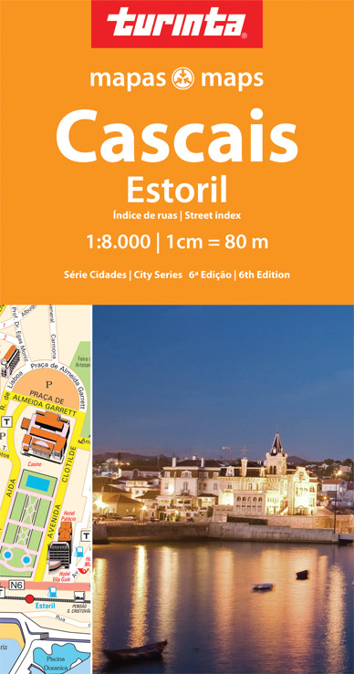
<p> Stadsplattegrond van Cacais - Estoril met register. Aanduiding van bezienswaardigheden.</p>
€11,50
Bekijk product
<div> <span style="color: rgb(0, 0, 0); font-family: 'Helvetica Neue', Helvetica, sans-serif, Arial;">Borch Manhattan is een duidelijke, geplastificeerde plattegrond met informatie over openbaar vervoer en bezienswaardigheden. Inclusief straatnamenregister.</span></div> <div> </div> <div> Our soft-laminated folded map of Manhattan shows: Manhattan (Lower & Midtown) 1:15 000, Manhattan (Upper) 1:15 000, Midtown 1:10 000, Financial District 1:9 000, Public Transport New York City, USA administrative & time zones, Manhattan Zip-Codes, USA administrative & time zones and the Top 30 Sights. Borch Maps are easy to fold, durable and water-repellent with a wipeable surface. Borch Maps show hotels, museums, monuments, markets, public transport, top sights and points of interest, useful statistics, conversion charts for temperatures, weights and measurements, climate charts showing temperatures, sunshine hours, precipitation and humidity, overview maps, time zones, and much more...</div> <div> </div> <div> Manhattan is one of the five boroughs of New York City (the other four boroughs are the Bronx, Queens, Brooklyn and Staten Island) and on a land area of only 22.7 square miles, it is the most densely-populated county in the United States with more than 34,756.7 persons per square mile. Of slightly more than 8.2 million people residing in all five boroughs, almost 1.6 million live on the island of Manhattan. The borough of Manhattan includes a few much smaller islands and a piece of mainland next to the Bronx. New York City is the world's most important financial center and countless corporate headquarters of internationally-renowned firms are situated here, as are the New York Stock Exchange and NASDAQ. Besides its status as a commercial, publishing, fashion and arts center, Manhattan has many superb museums, world-famous landmarks, universities and a plethora of cultural attractions for visitors. Manhattan is a great destination any time of year.</div> <div> </div>
€9,95
Bekijk product
<p> De stadsplattegronden van Lonely Planet zijn uitgevoerd op scheur- en watervast papier, zijn lichtgewicht en kennen een handig formaat. Het centrum van de stad is in heldere kleuren in beeld gebracht met straatnamen, bezienswaardigheden en symbolen voor openbaar vervoer. Op de achterzijde staat informatie over de toeristische hoogtepunten en in de meeste gevallen een schematische plattegrond van het openbaar vervoer. Met een register.</p> <div> <div> Durable and waterproof, with a handy slipcase and an easy-fold format, Lonely Planet's Rome City Map is your conveniently sized passport to travelling with ease. Get more from your map and your trip with images and information about top city attractions, walking tour routes, transport maps, itinerary suggestions, an extensive street and site index, and practical travel tips and directory. With this easy-to-use, full-colour navigation tool in your back pocket, you can truly get to the heart of Rome, so begin your journey now!Durable and waterproofEasy-fold format and convenient sizeHandy slipcaseFull colour and easy to useExtensive street and site indexImages and information about top city attractionsHandy transport mapsWalking tour routesPractical travel tips and directoryItinerary suggestionsCovers Borgo, Campitelli, Campo Marzio, Castro Pretorio, Colonna, Esquilino, Gianicolo, Monti, Parione, Pigna, Ponte, Prati, Regola, Salario, Sallustiano, San Giovanni, Sant'Angelo, Sant'Eustachio, Trastevere, Trevi, Tridente, Vatican City, Villa BorgheseLooking for more extensive coverage? Check out Lonely Planet's Rome, our most comprehensive guidebook to the city, covering the top sights and most authentic offbeat experiences.</div> <div> </div> <div> Or check out Lonely Planet's Pocket Rome, a handy-sized guide focused on the can't-miss experiences for a quick trip. About Lonely Planet: Lonely Planet is a leading travel media company, providing both inspiring and trustworthy information for every kind of traveller since 1973. Over the past four decades, we've printed over 145 million guidebooks and phrasebooks for 120 languages, and grown a dedicated, passionate global community of travellers.</div> <div> </div> <div> You'll also find our content online, and in mobile apps, videos, 14 languages, armchair and lifestyle books, ebooks, and more, enabling you to explore every day. 'Lonely Planet guides are, quite simply, like no other.'Â New York Times'Lonely Planet. It's on everyone's bookshelves; it's in every traveller's hands.</div> </div> <div> </div> <div> Easy-fold format and convenient size</div> <div> Handy slipcase</div> <div> Full colour and easy-to-use</div> <div> Extensive street and site index</div> <div> Images and information about top city attractions</div> <div> Handy transport maps</div> <div> Practical travel tips and directory</div> <div> Itinerary suggestions</div> <div> </div> <div> Covers Borgo, Campitelli, Campo Marzio, Castro Pretorio, Colonna, Esquilino, Gianicolo, Monti, Parione, Pigna, Ponte, Prati, Regola, Salario, Sallustiano, San Giovanni, Sant’Angelo, Sant’Eustachio, Trastevere, Trevi, Tridente, Vatican City, Villa Borghese</div> <div> </div>
€9,95
Bekijk product
<p> De stadsplattegronden van Lonely Planet zijn uitgevoerd op scheur- en watervast papier, zijn lichtgewicht en kennen een handig formaat. Het centrum van de stad is in heldere kleuren in beeld gebracht met straatnamen, bezienswaardigheden en symbolen voor openbaar vervoer. Op de achterzijde staat informatie over de toeristische hoogtepunten en in de meeste gevallen een schematische plattegrond van het openbaar vervoer. Met een register.</p> <div> <div> <div> Durable and waterproof, with a handy slipcase and an easy-fold format, Lonely Planet's London City Map is your conveniently sized passport to travelling with ease. Get more from your map and your trip with images and information about top city attractions, walking tour routes, transport maps, itinerary suggestions, an extensive street and site index, and practical travel tips and directory. With this easy-to-use, full-colour navigation tool in your back pocket, you can truly get to the heart of London, so begin your journey now! Durable and waterproof Easy-fold format and convenient size Handy slipcase Full colour and easy to use Extensive street and site index Images and information about top city attractions Handy transport maps Walking tour routes Practical travel tips and directory Itinerary suggestions Covers Regent's Park, Fitzrovia, Marylebone, Somers Town, King's Cross, St Pancras, Bloomsbury, Pentonville, Clerkenwell, Finsbury, Shoreditch, Spitalfields, Holborn, Covent Garden, Mayfair, St James's, Soho, Westminster, Belgravia, Knightsbridge, South Bank, Southwark, Lambeth, Borough, Bermondsey, Chelsea, Pimlico Looking for more extensive coverage? Check out Lonely Planet's London, our most comprehensive guidebook to the city, covering the top sights and most authentic offbeat experiences.</div> <div> </div> <div> Or check out Lonely Planet's Pocket London, a handy-sized guide focused on the can't-miss experiences for a quick trip. About Lonely Planet: Lonely Planet is a leading travel media company, providing both inspiring and trustworthy information for every kind of traveller since 1973. Over the past four decades, we've printed over 145 million guidebooks and phrasebooks for 120 languages, and grown a dedicated, passionate global community of travellers.</div> <div> </div> <div> You'll also find our content online, and in mobile apps, videos, 14 languages, armchair and lifestyle books, ebooks, and more, enabling you to explore every day. 'Lonely Planet guides are, quite simply, like no other.' New York Times 'Lonely Planet. It's on everyone's bookshelves; it's in every traveller's hands.</div> <div> </div> </div> <div> </div> </div> <div> Covers Regent’s Park, Fitzrovia, Marylebone, Somers Town, King’s Cross, St Pancras, Bloomsbury, Pentonville, Clerkenwell, Finsbury, Shoreditch, Spitalfields, Holborn, Covent Garden, Mayfair, St James’s, Soho, Westminster, Belgravia, Knightsbridge, South Bank, Southwark, Lambeth, Borough, Bermondsey, Chelsea, Pimlico</div> <div> </div>
€9,95
Bekijk product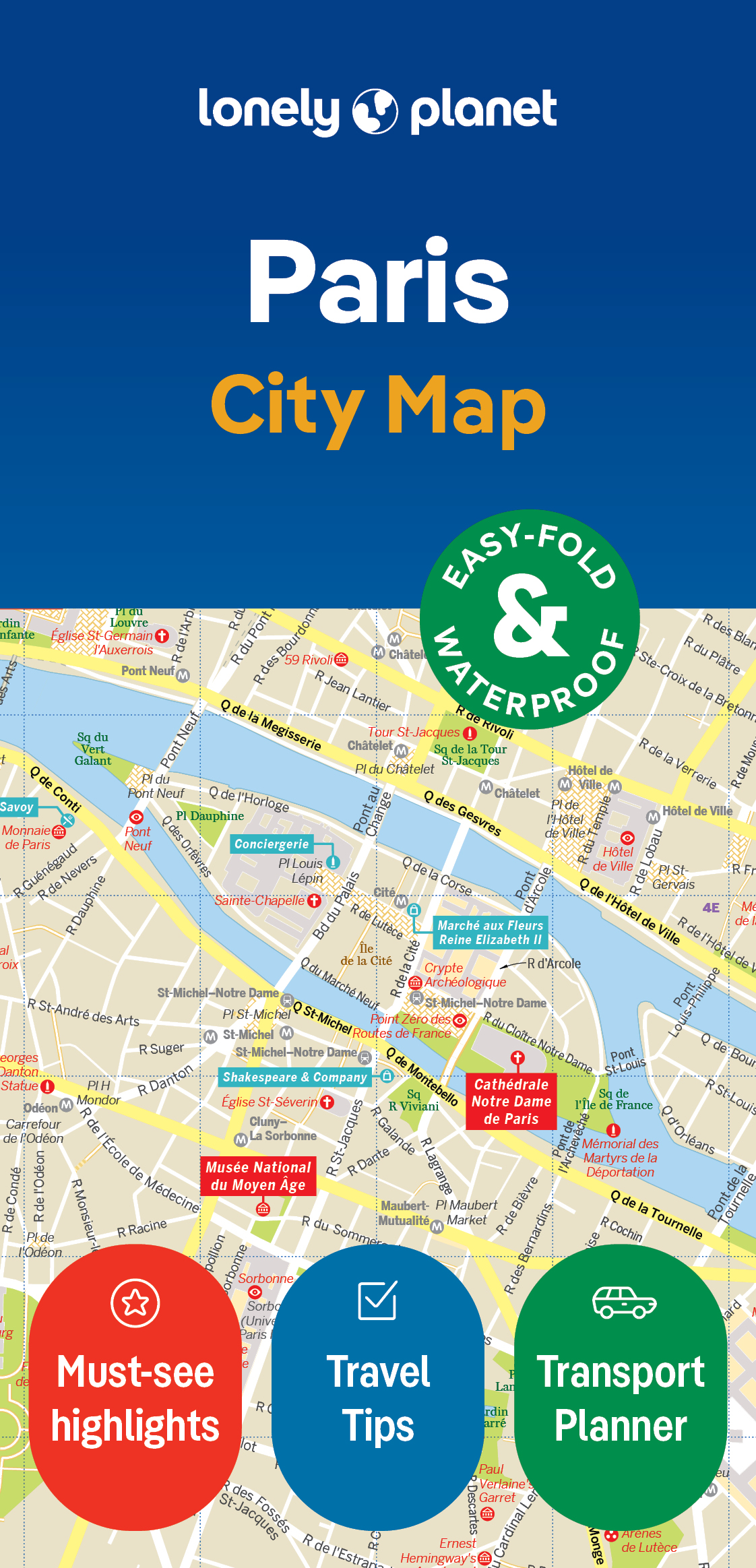
<p> De stadsplattegronden van Lonely Planet zijn uitgevoerd op scheur- en watervast papier, zijn lichtgewicht en kennen een handig formaat. Het centrum van de stad is in heldere kleuren in beeld gebracht met straatnamen, bezienswaardigheden en symbolen voor openbaar vervoer. Op de achterzijde staat informatie over de toeristische hoogtepunten en in de meeste gevallen een schematische plattegrond van het openbaar vervoer. Met een register.</p> <div> <div> Durable and waterproof, with a handy slipcase and an easy-fold format, Lonely Planet's Paris City Map is your conveniently sized passport to travelling with ease. Get more from your map and your trip with images and information about top city attractions, walking tour routes, transport maps, itinerary suggestions, an extensive street and site index, and practical travel tips and directory. With this easy-to-use, full-colour navigation tool in your back pocket, you can truly get to the heart of Paris, so begin your journey now! Durable and waterproof Easy-fold format and convenient size Handy slipcase Full colour and easy to use Extensive street and site index Images and information about top city attractions Handy transport maps Walking tour routes Practical travel tips and directory Itinerary suggestions Covers Triangle d'Or, Faubourg St-Germain, Left Bank, Le Marais, Montmarte Looking for more extensive coverage? Check out Lonely Planet's Paris, our most comprehensive guidebook to the city, covering the top sights and most authentic offbeat experiences.</div> <div> </div> <div> Or check out Lonely Planet's Pocket Paris, a handy-sized guide focused on the can't-miss experiences for a quick trip. About Lonely Planet: Lonely Planet is a leading travel media company, providing both inspiring and trustworthy information for every kind of traveller since 1973. Over the past four decades, we've printed over 145 million guidebooks and phrasebooks for 120 languages, and grown a dedicated, passionate global community of travellers.</div> <div> </div> <div> You'll also find our content online, and in mobile apps, videos, 14 languages, armchair and lifestyle books, ebooks, and more, enabling you to explore every day. 'Lonely Planet guides are, quite simply, like no other.' New York Times 'Lonely Planet. It's on everyone's bookshelves; it's in every traveller's hands.</div> </div> <div> Easy-fold format and convenient size</div> <div> Handy slipcase</div> <div> Full colour and easy-to-use</div> <div> Extensive street and site index</div> <div> Images and information about top city attractions</div> <div> Handy transport maps</div> <div> Practical travel tips and directory</div> <div> Itinerary suggestions</div> <div> Covers Triangle d’Or, Faubourg St-Germain, Left Bank, Le Marais, Montmarte</div> <div> </div>
€9,95
Bekijk product
<div> De stadsplattegronden van Lonely Planet zijn uitgevoerd op scheur- en watervast papier, zijn lichtgewicht en kennen een handig formaat. Het centrum van de stad is in heldere kleuren in beeld gebracht met straatnamen, bezienswaardigheden en symbolen voor openbaar vervoer. Op de achterzijde staat informatie over de toeristische hoogtepunten en in de meeste gevallen een schematische plattegrond van het openbaar vervoer. Met een register.</div> <div> </div> <div> Durable and waterproof, with a handy slipcase and an easy-fold format, Lonely Planet Boston City Map is your conveniently-sized passport to traveling with ease.</div> <div> Get more from your map and your trip with images and information about top city attractions, transport maps, itinerary suggestions, extensive street and site index, and practical travel tips and directory. With this easy-to-use, full colour navigation tool in your back pocket, you can truly get to the heart of Boston so begin your journey now!</div> <div> </div> <div> Easy-fold format and convenient size</div> <div> Handy slipcase</div> <div> Full colour and easy-to-use</div> <div> Extensive street and site index</div> <div> Images and information about top city attractions</div> <div> Handy transport maps</div> <div> Practical travel tips and directory</div> <div> Itinerary suggestions</div> <div> </div> <div> <div> Covers: Charlestown, West End, North End, Beacon Hill, Boston Common, Downtown, Waterfront, South End, Chinatown, Back Bay, Kenmore Square, Fenway, Seaport District, South Boston, Cambridge</div> <div> </div> </div> <p> </p>
€10,95
Bekijk product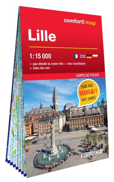
<div> <div> ExpressMap is de uitgever van comfort! maps, geplastificeerde kaarten die eenvoudig te vouwen zijn, zelfs met één hand. Een uniek en innovatief product. Comfortabel, waterbestand, onverscheurbaar, comfort! maps blijven hun kwaliteit lang behouden. Duurzame kaarten, nuttig om een uitstap te plannen en handig voor onderweg. </div> <div> </div> <div> Een aantal belangrijke kenmerken van deze kaarten:</div> <div> •<span style="white-space:pre"> </span>Dubbelzijdig geplastificeerd -> door de unieke manier van plastificeren is het mogelijk om deze kaart op allerlei manieren te vouwen;</div> <div> •<span style="white-space:pre"> </span>Beschrijfbaar / uitwisbaar</div> <div> •<span style="white-space:pre"> </span>Legende van de kaart in 4 talen</div> <div> •<span style="white-space:pre"> </span>Stadsplannen: register, metroplan</div> </div> <div> </div> <div> <ul> <li> doppelseitig laminiert, praktisch beim Auseinander- und Zusammenfalten</li> <li> detaillierter Maßstab 1: 15 000 (1 cm – 150m)</li> <li> reicher, touristischer Inhalt</li> <li> U-Bahn – und Straßenbahnnetz</li> <li> Zentrum von Lille im Maßstab 1:10 000 (1 cm – 100m)</li> <li> Straßenregister</li> </ul> </div> <div> </div> <div> Seit über 10 Jahren begleiten die doppelseitiglaminierten comfort! map Karten die Touristen während den Wandertouren im Gebirge, Seereisen oder Autoausflügen. Sie sind besonders haltbar. Ihre Ästhetik und ihre Qualität bleiben lange erhalten. Dank der patentgeschützten, technischen Lösung kann man die Karte beliebig falten, ohne sie dabei zu beschädigen. Die Karten sind in zwei Formaten erhältlich – im klasischen Format und im Taschenformat. Comfort!map – Serie beinhaltet: Stadtpläne, Autokarten und touristische Karten.</div> <div> </div> <div> Stadtpläne</div> <div> - reicher touristischer Inhalt (u.a. Sehenswürdigkeiten, Museen, Hotels)</div> <div> - Linien und Haltestellen von U-Bahnen, Nahverkehrszügen und anderen öffentlichen Verkehrsmitteln </div> <div> - Straßenregister</div> <div> - mehrsprachige Legenden</div>
€12,50
Bekijk product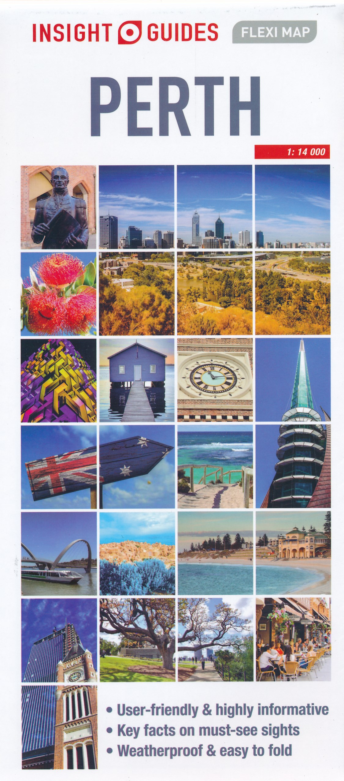
<div> Geplastificeerde centrumkaart van Perth, met register. Voor <span style="font-size: 12px;">de 'gewone' toerist een handige kaart, geen groot formaat, </span><span style="font-size: 12px;">overzichtelijk met alle belangrijke plaatsen goed weergegeven. </span></div> <div> </div> <div> This laminated fleximap of Perth contains six maps, including Perth City, Perth environs, Perth Urban area, Fremantle, and an overview regional map. It also gives overviews of the top recommended sights and places to visit, as well as practical data, climate tables and local transport details. The key features include: detailed cartography highlights all the main tourist sights and provides valuable motoring information; informative text - essential facts about the destination are provided, plus handy tips for getting around...; ease of use - the durable maps fold very easily, even when it's raining; and laminated finish - you can write on the map with a non-permanent marker pen and wipe it off later.</div>
€9,95
Bekijk product
<div> Een degelijke wegenkaart met aanduidingen van o.a. nationale parken, vliegveld, benzinepomp, dirt-roads. Als overzichtskaart goed te gebruiken.</div> <div> </div> <div> China is a very large country. While our map of the entire country is fine for general travel and sells well, China is too large to show areas in detail. This map concentrates on the part of China from Shanghai south and all the way west to Lhasa and includes Taiwan and Hainan Island. We are not trying to make any sort of political comment here, but geographically, both Tibet and Taiwan fall within the area of coverage and are both included for this reason alone. The map also includes insets of Hong Kong, Guangzhou and Shanghai</div> <div> </div> <div> Legend Includes:</div> <div> Roads by classification, Points of Interest, National Parks, Airports, Golf Courses, Beaches, Campsites, Waterfalls, Viewpoints, Churches, Surfing/Scuba Diving Spots, Fishing Spots, Hospitals, harbours/Ports, Lighthouses, Museums, Monuments, Caves, Mosques, Mountain Peaks, Botanic Gardens, Wildlife Sanctuary, Zoos, Sports Fields, and much more.</div>
€13,95
Bekijk product
<div> <span style="color: rgb(0, 0, 0); font-family: 'Helvetica Neue', Helvetica, sans-serif, Arial;">Borch Seattle is een duidelijke, geplastificeerde plattegrond van het centrum met informatie over openbaar vervoer en bezienswaardigheden. Inclusief straatnamenregister.</span></div> <div> </div> <div> Our soft-laminated map of Seattle includes: Seattle Downtown 1:10 000,</div> <div> Washington University 1:10 000, Olympic National Park 1:500 000, North Cascades National Park 1:400 000, Mount Rainier National Park 1:200 000, Seattle & Region 1:250 000, Western Washington 1: 1 200 000, Public Transport Seattle, 30 top sights, USA administrative & time zones, interesting statistics, conversion chart for temperatures, weights and measures, climate chart with temperatures, sunshine hours, precipitation and humidity.</div> <div> </div> <div> Seattle, located in the Pacific Northwest between Puget Sound and Lake Washington, is Washington State's largest and best known city. The Space Needle has defined Seattle's skyline since 1962, however it is neither the city's tallest building, nor is it located downtown. The tallest skyscraper in Seattle is the Columbia Center and the largest building is the Starbucks Center, which houses the world-renowned coffee empire. Seattle has a reputation for very high coffee consumption and indeed many manufacturers and independent coffee roasters and producers are to be found here. Seattle, the birthplace of grunge, has been rated the most literate city in America because it boasts the highest number of college graduates living there. Thanks to its mild climate and location it is an excellent place for outdoor recreation. A beautiful and interesting city most certainly worth a visit!</div> <div> </div>
€9,95
Bekijk product