
Beantwoord enkele vragen, en binnen seconden geeft AI je een persoonlijk aankoopadvies op maat.
Beantwoord enkele vragen, en binnen seconden geeft AI je een persoonlijk aankoopadvies op maat.

<div> Navigate your way around Bristol with detailed street maps from A-Z</div> <div> This up-to-date, folded A-Z street map includes all of the 1,500 streets in and around Bristol. Detailed coverage of an area extending from Bishopston in the north to Knowle Golf Course in the south, and from Crew’s Hole in the east to Leigh Woods in the west.</div> <div> </div> <div> The large scale 1 mile to 5.5 inch (1 km to 8.68 cm) street map includes the following:</div> <div> </div> <div> Places of interest</div> <div> One-way streets and car parks</div> <div> Index to streets, places of interest, place and area names, park and ride sites, national rail stations, hospitals and hospices</div> <div> The perfect reference map for finding your way around Bristol.</div>
€7,95
Bekijk product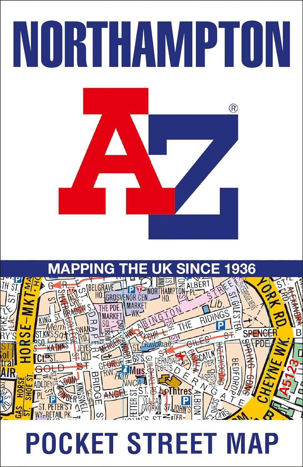
<div> Navigate your way around Northampton with detailed street maps from A-Z</div> <div> This up-to-date, folded A-Z street map includes all of the 1,500 streets in and around Northampton, as well as:</div> <div> </div> <div> Postcode districts, one-way streets and car parks</div> <div> Places of interest</div> <div> Index to streets, places of interest, place and area names, park and ride sites, national rail stations, hospitals and hospices</div> <div> The perfect reference map for finding your way around Northampton.</div>
€7,95
Bekijk product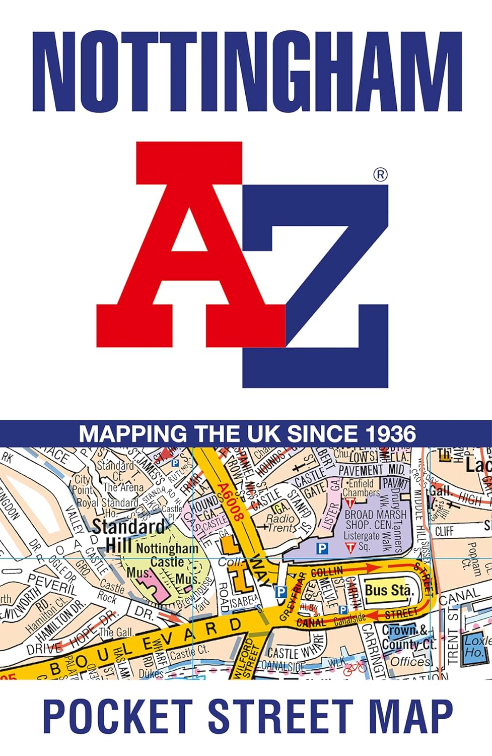
<div> This up-to-date detailed A-Z street map includes more than 2,000 streets in and around Nottingham.As well as Nottingham Castle and Lace Market, the other areas covered include Willford Village, Dunkirk, the Meadows, New Lenton, Old Radford, Thorneywood, Alexandra Park, Aspley, Forest Fields, Highbury Vale and Woodthorpe.The large-scale street map includes the following: - Places of interest- Postcode districts, one-way streets and car parks- Index to streets, places of interest, place and area names, park and ride sites, national rail stations, hospitals and hospicesThe perfect reference map for finding your way around Nottingham.</div> <div> </div>
€7,95
Bekijk product
<div> Navigate your way around Dover with detailed street maps from A-Z</div> <div> This up-to-date, folded A-Z street map includes all of the 1,500 streets in and around Dover as well as:</div> <div> </div> <div> Postcode districts, one-way streets and car parks</div> <div> Places of interest</div> <div> On the reverse side there is a handy index to streets, places of interest, place and area names, park and ride sites, national rail stations, hospitals and hospices</div> <div> Detailed coverage of an area extending from Napchester in the north to the harbour in the south, and from beyond Jubilee Way to the east and Kearsney in the west.</div> <div> </div> <div> With its clear mapping at a scale of 5.5 inches to 1 mile, this is the perfect reference map for finding your way around Dover.</div>
€7,95
Bekijk product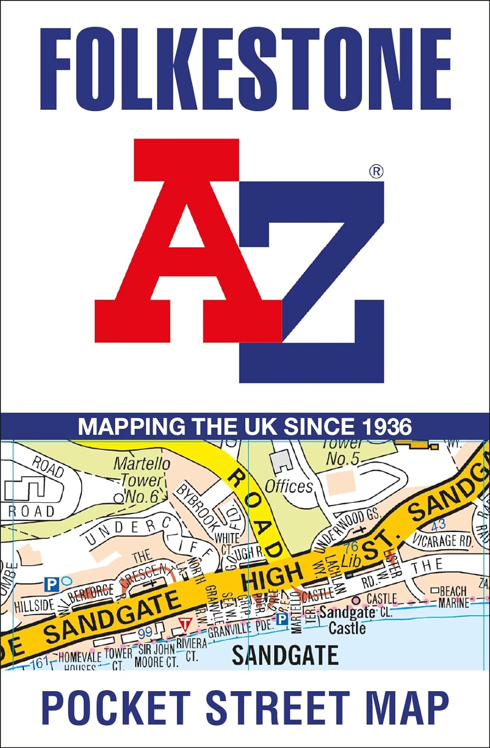
<div> Navigate your way around Folkestone with detailed street maps from A-Z</div> <div> This up-to-date, folded A-Z street map includes all of the 1,500 streets in and around Folkestone. Detailed coverage of an area extending from Hawkinge to Sandgate in the south, and from East Wear Bay in the east to Newington in the west.</div> <div> </div> <div> Postcode districts, one-way streets and car parks</div> <div> Places of interest</div> <div> On the reverse side there is a handy index to streets, places of interest, place and area names, park and ride sites, national rail stations, hospitals and hospices</div> <div> With clear mapping on a scale of 5.5 inches to 1 mile, this is the perfect reference map for finding your way around Folkestone.</div>
€7,95
Bekijk product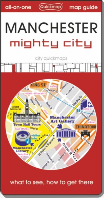
<div> This ideal pocket map and guide is for day tourists, sports fans, and short-stay visitors to Manchester who are interested in experiencing the attractions of this ambitious city. A detailed map of Trafford City plus an outer city attractions and sporting venues map complete a valuable source of local information.</div> <div> </div>
€6,95
Bekijk product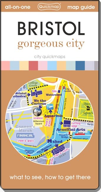
<div> Get to know Bristol like a local with area flavours. See all the attractions inside and surrounding the city including Bath and find easy ways to get to them without a car. Instantly understand the city on the zippy folding maps inside the discreet pocket-sized cover. This guide is for visitors who are wanting to experience this dynamic city.</div> <div> </div>
€6,95
Bekijk product
<div> <div> ExpressMap is de uitgever van comfort! maps, geplastificeerde kaarten die eenvoudig te vouwen zijn, zelfs met één hand. Een uniek en innovatief product. Comfortabel, waterbestand, onverscheurbaar, comfort! maps blijven hun kwaliteit lang behouden. Duurzame kaarten, nuttig om een uitstap te plannen en handig voor onderweg. </div> <div> </div> <div> Een aantal belangrijke kenmerken van deze kaarten:</div> <div> •<span style="white-space:pre"> </span>Dubbelzijdig geplastificeerd -> door de unieke manier van plastificeren is het mogelijk om deze kaart op allerlei manieren te vouwen;</div> <div> •<span style="white-space:pre"> </span>Beschrijfbaar / uitwisbaar</div> <div> •<span style="white-space:pre"> </span>Legende van de kaart in 4 talen</div> <div> •<span style="white-space:pre"> </span>Stadsplannen: register, metroplan</div> </div> <div> </div> <div> Une visite à Lille, préfecture du département du Nord et capitale de la région des Hauts-de-France, laissera sûrement à tous une impression inoubliable. Dans cette ville vieille de plus de neuf siècles située tout près de la Belgique, on pourra admirer notamment la cathédrale Notre-Dame-de-la-Treille et le Palais des Beaux-Arts, le plus grand musée d'art de France en-dehors de Paris. Notre plan laminé recto-verso et facile à plier indiquera le chemin vers toutes les curiosités de Lille et permettra de se déplacer aisément dans la ville.</div> <div> </div> <div> Les points forts du plan :</div> <div> </div> <div> - une grande échelle 1 : 15 000 (1 cm – 150 m) ;</div> <div> </div> <div> - de riches informations touristiques : monuments, musées, hôtels, et autres points de repère importants ;</div> <div> </div> <div> - le schéma des lignes de métro et de tramway ;</div> <div> </div> <div> - plan détaillé du centre de Lille 1 : 10 000 (1 cm – 100 m) ;</div> <div> </div> <div> - un répertoire des rues.</div>
€12,50
Bekijk product
