
Beantwoord enkele vragen, en binnen seconden geeft AI je een persoonlijk aankoopadvies op maat.
Beantwoord enkele vragen, en binnen seconden geeft AI je een persoonlijk aankoopadvies op maat.
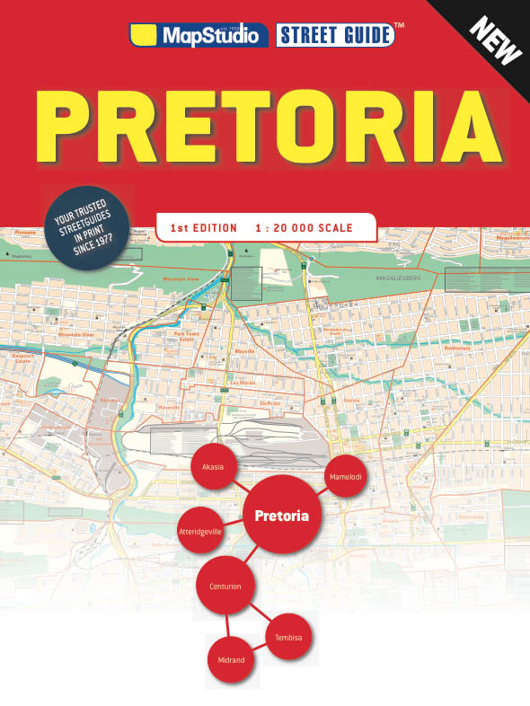

€19,95
Bekijk product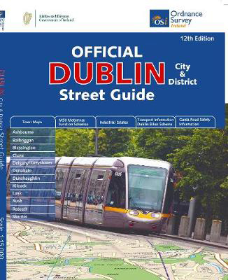
<div> Navigate your way around Dublin with confidence with the Official Dublin City & District Street Guide. Find your way around Ireland’s vibrant, historic capital with an enlarged city centre map plus 12 maps of surrounding major towns.</div> <div> </div> <div> Official Dublin City & District Street Guide features:</div> <div> </div> <div> - Enlarged city centre map</div> <div> - Maps of Ashbourne, Balbriggan, Blessington, Clane, Delgany/Greystones, Donabate, Dunshaughlin, Kilcock, Lusk, Rush, Rafoath and Skerries</div> <div> - Spiral-bound for ease of laying flat and quick navigation</div> <div> - Schematic maps of all M50 motorway junctions</div> <div> - Up-to-date and indexed information on hospitals, embassies and industrial estates</div> <div> - Garda Road Safety Information</div> <div> - Transport information for bus and rail routes and Dublin Bikes Scheme</div> <div> </div> <div> Other Ordnance Survey Ireland maps of Dublin include Medieval Dublin, Dublin City Centre Tourist Map and Dublin Commuter Map.</div>
€25,95
Bekijk product

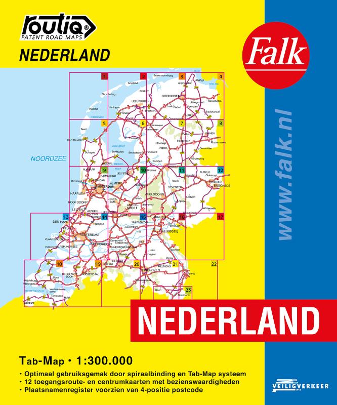
<p> De meest gebruiksvriendelijke wegenkaart van Nederland is ongetwijfeld de Falk Routiq Tab Map. De Routiq Tab Map bladen zijn in een handige ringband gebonden, waar je op de rechterzijde inzoomt op het gebied waar je je bevindt en de linkerzijde geeft aan waar je je globaal bevindt. Het perfecte formaat van de individuele kaarten maakt dat je deze gemakkelijk kunt lezen in de auto. De nummer 1 wegenkaart voor professionele bestuurders! De meest actuele kaart van Nederland Optimaal gebruiksgemak door het Tab Map systeem Wire-O Spiraalbinding. Uitgebreid met toegangsroute- en centrumkaarten met Insider Tips Plaatsnamenregister, afstandentabel</p>
€19,99
Bekijk product
€65,95
Bekijk product
<p> Discover new places with handy road atlases from Collins.</p> <p> Your ideal companion for navigating around Scotland. It has extremely clear, route planning maps of Scotland, detailed city plans of the major cities and towns and fits neatly into your glovebox, briefcase or bag.</p> <p> Main features<br /> <br /> Clear, attractive route planning maps of the whole of Scotland supported by comprehensive, fully indexed city centre street maps of Aberdeen, Dundee, Edinburgh, Glasgow, Inverness and Perth.<br /> <br /> Scale of main maps: 1:625,000 (9.9 miles to 1 inch).</p> <p> Also includes<br /> <br /> * Places of tourist interest are highlighted<br /> <br /> * Attractive layer colouring showing land height<br /> <br /> * Road network fully classified and colour coded<br /> <br /> * Detailed street mapping of Edinburgh, including the Royal Mile with all its attractions clearly marked, Leith and Holyrood Park<br /> <br /> * Detailed street mapping of Glasgow, including the West End, city centre and M74 extension<br /> <br /> * Detailed street mapping of Aberdeen, including the bypass<br /> <br /> * Street maps, with indexes, of Dundee, Inverness and Perth city centres<br /> <br /> * Handy distance calculator chart highlighting distances between the major towns<br /> <br /> * Administrative areas map showing council areas<br /> <br /> * Transport connections section listing all the airports and details of all vehicle ferries into and within Scotland</p> <p> Area of coverage<br /> <br /> Covers the whole of Scotland and part of northern England, extending down to Kendal and Scarborough in the south.</p>
€12,95
Bekijk product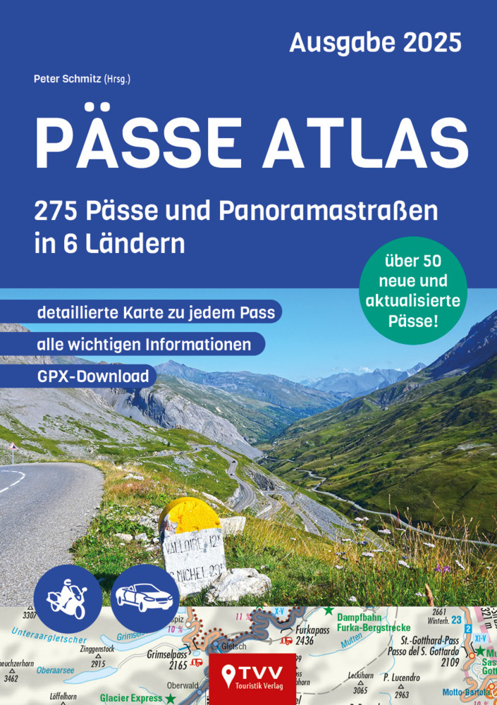
<p> 275 der schönsten Alpenpässe und Panoramastraßen sind im neuen Pässe Atlas 2025 enthalten, darunter bekannte Größen und verborgene Schätze. Diese erweiterte Auflage bietet nicht nur Motorrad-Reisenden eine noch größere Auswahl an Pässen und Panoramastraße in Deutschland, Österreich, der Schweiz, Slowenien, Norditalien und den französischen Alpen. Neben präzisen Karten und GPS-Daten enthält der Atlas nützliche Infos und Highlights zu jeder Strecke. Dieses Standardwerk ist ein Muss für jeden Pässeliebhaber, der die Vielfalt der Alpenpässe erleben möchte.Der Pässe Atlas 2025 vereint 275 Pässe in 6 Ländern und bietet euch:_ Übersichtliches Kartenmaterial mit eingezeichneter Route_ praktische Hinweise zur Streckenlänge, Charakteristik, Länge, Scheitelhöhe, Steigung und Wintersperren_ Aktuelle Mautpreise_ beliebte Attraktionen am Wegesrand - nicht nur für Motorradfans_ GPX-Daten zum Download_ 416 Seiten durchgehend 4-farbige Seiten_ Softcover</p>
€21,95
Bekijk product