
Beantwoord enkele vragen, en binnen seconden geeft AI je een persoonlijk aankoopadvies op maat.
Beantwoord enkele vragen, en binnen seconden geeft AI je een persoonlijk aankoopadvies op maat.
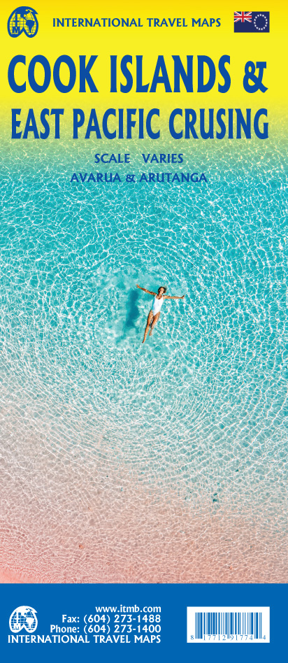
<div> Aan de ene kant een degelijke kaart van de Cook Eilanden, verschillende schalen, met aanduidingen van o.a. nationale parken, vliegveld, benzinepomp, dirt-roads. As overzichtskaart goed te gebruiken.</div> <div> Aan de andere kant een overzicht van cruise routes in de Oostelijke Stille Oceaan, schaal 1:10.000.000</div>
€13,95
Bekijk product
<p> Zoals gewend van Michelin een zeer leesbare kaart met alle gewenste details. Alle berijdbare wegen staan duidelijk ingetekend, groene lijnen geven de mooiste stukken aan.</p> <p> Alméria, Andalousie, Costa del Sol, Espagne, Grenade, Malaga</p>
€10,95
Bekijk product
<p> Our popular map showing the recreational hiking trails in the mountains within the urban area of Metro Vancouver, but outside of its urbanized limits, continues into its most recent printing with an additional government topo map on the reverse side showing the full extent of the mountainous expanse of the Coastal Range that comes right into Vancouver. We are truly blessed as a city to be located in a sheltered bay of the ocean, with towering mountains looking after us.</p> <p> Trails cut by early settlers, by Boy Scouts, and by hiking enthusiasts, have been enjoyed for decades. I first mapped these trails in the mid-1980s, and we have kept the information as accurate and up to date as possible for more than two decades and six editions.</p> <p> The addition of the regional map makes the map more useful to users, as it covers the Sunshine Coast, the mountains north of Whistler, and the wilderness roads throughout the entire region, as far east as Agassiz, which won’t mean much except to locals, but extends a hundred kilometers east of Vancouver.</p>
€13,95
Bekijk product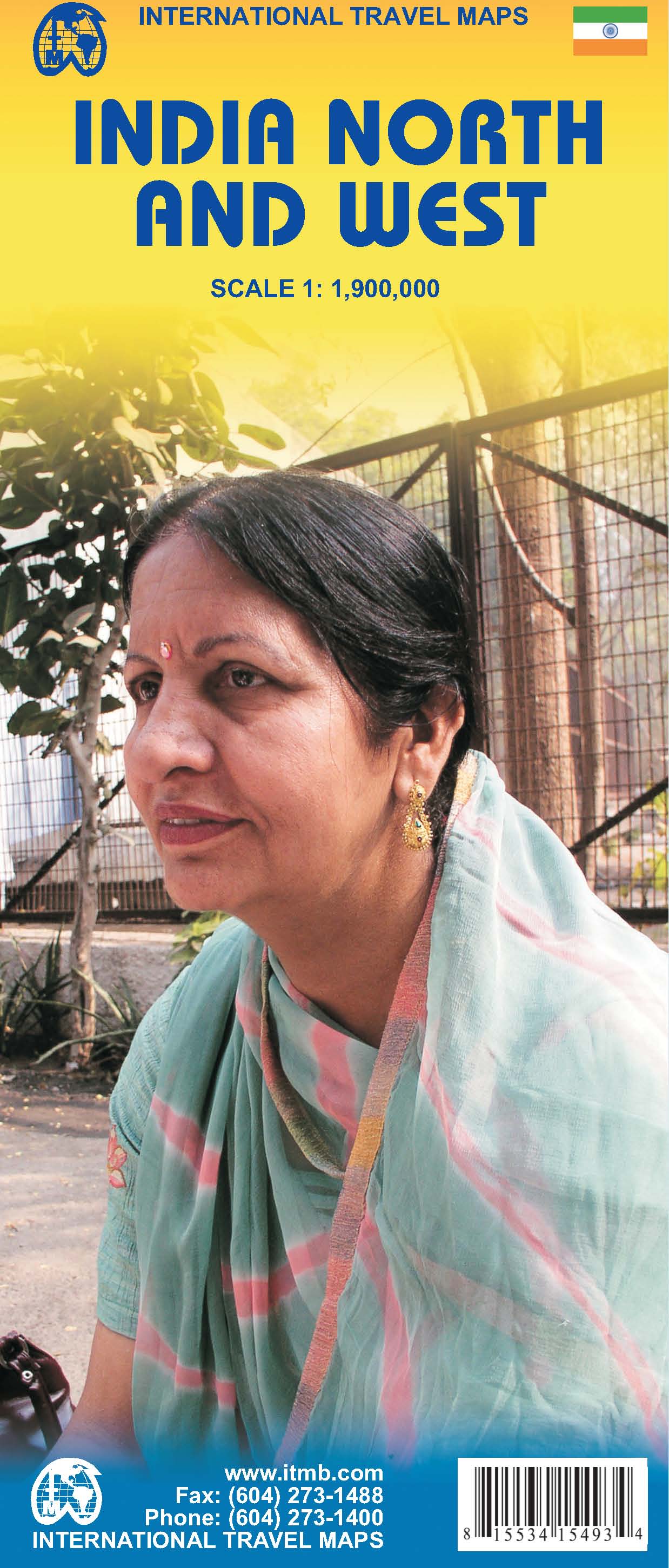
<p> Een degelijke kaart met aanduidingen van o.a. nationale parken, vliegveld, benzinepomp, dirt-roads en kleine plattegrond van hoofdstad. Als overzichtskaart goed te gebruiken.</p> <p> Northern and western India on a double-sided, indexed map from ITMB, providing on each side useful coverage of some of the country’s most visited areas. Each side of the map has a separate index of localities.</p> <p> The northern side is centred on Delhi and extends north to the Line of Control dividing Jammu and Kashmir. Coverage east along the Ganges extends beyond Varanasi; west to Jodhour, the outskirts of Ahmadabad and to Vadodara (Baroda); and south to Nagpur, the geographical centre of India.</p> <p> The western side of the map extends from Delhi to Bangalore and Mysore, and inland beyond Hyderabad, so includes Mumbai and Goa.</p> <p> The map has altitude colouring (in feet) and shows the country’s road and rail networks and local airports. Symbols highlight various places of interest including historic or scenic sites, hill stations, temples and other religious buildings, castles and forts, national parks and wildlife reserves, beaches, boating and rafting facilities, etc. Latitude and longitude lines are drawn at intervals of 2°. Each side of the map has a separate index of place names.</p> <p> </p>
€13,95
Bekijk product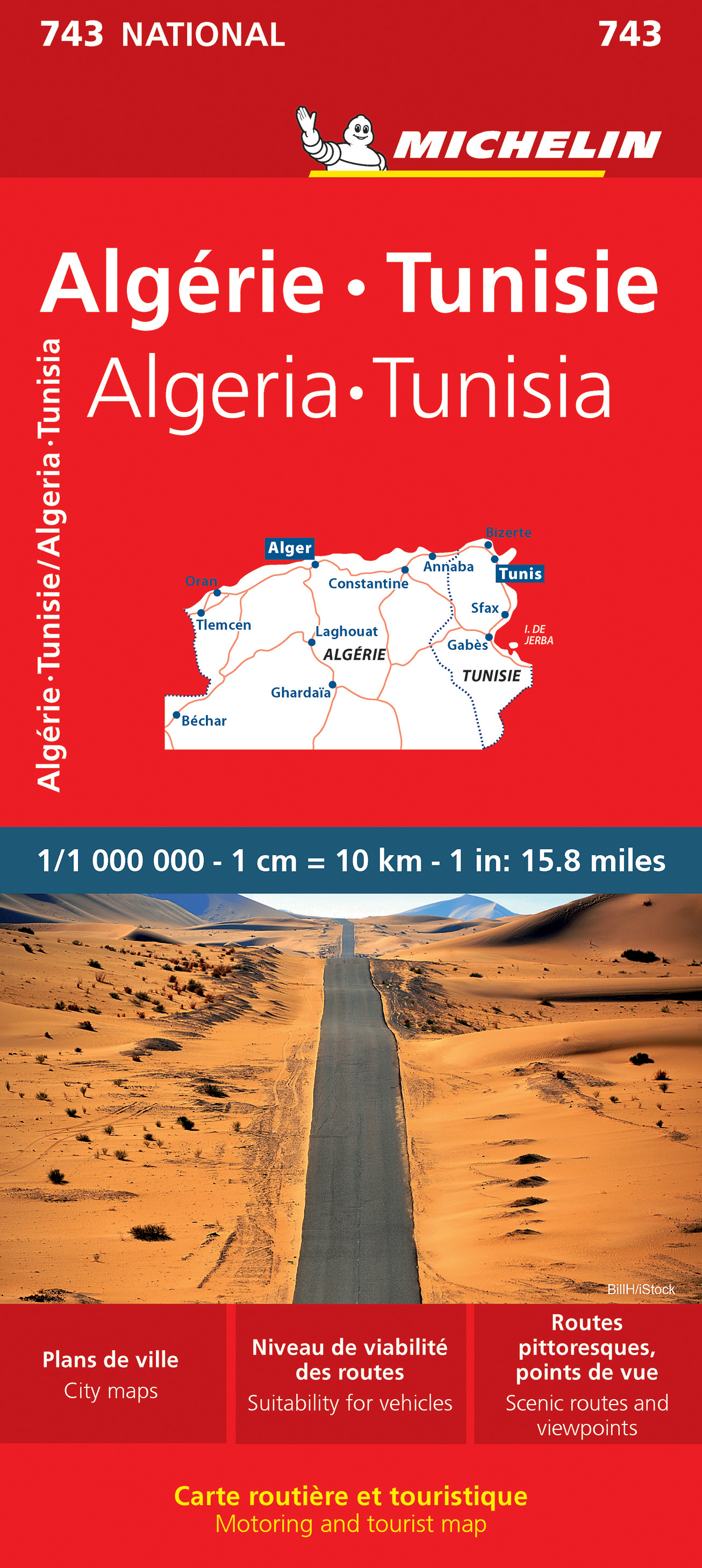
<p> Kaart van beroemde kaartenmakers en voor Algerije en Tunesie weer een hele goede. Uitermate goed leesbaar, prettig kleurgebruik.</p> <div> Zoals je van Michelin mag verwachten is deze kaart zeer overzichtelijk en heeft een duidelijk helder kaartbeeld. De kaart geeft uitgebreid toeristische informatie weer. Met register, afstanden en reistijden.</div> <div> Wegen worden naar verschillende klasse ingedeeld en - mooi van Michelin - de interessante mooie routes worden gemarkeerd met een groene streep. </div> <div> </div> <div> Hindernissen voor automobilisten met caravans zijn gemarkeerd: steile hellingen, bergpassen of een anderzins moeilijke route. Bezienswaardigheden als een kasteel, religieus gebouw, ruine of grot is door een symbool goed te vinden.</div> <p> The Michelin National road map of Algeria & Tunisia at 1:1,000,000 scale is ideal for trip & route planning. The map gives comprehensive coverage of national road networks showing all major motorways, dual carriageways, national & regional main roads and some local roads. Also shows unsurfaced roads & tracks and major footpaths. Road obstacles & dangers including steep slopes, seasonally impassable routes, height restrictions, one-way roads, tolls, narrow bridges & high passes are indicated.</p> <p> Clear, easy-to read cartography shows roads in reds, yellows and white with black outlines. Major topography is indicated with relief shading. Woodland & forest is marked with green shading, desert in yellow & some indication of salt flats & marshland. Towns and cities are marked with symbols only on the main map, but regional enlargements (see below) show built-up urban areas in salmon pink highlighting. Airports, ferries, railways, bridges & level crossings are also marked. National and administrative divisions are shown, as are administrative seats & state capitals.</p> <p> Plenty of detailed tourist information is given: Accommodation & practical facilities (hotels, resorts, fuel & repair services where attached to a hotel), sport & leisure facilities (e.g. golf courses, winder sports & spas) and sights. Sights include kasbahs, rural markets, areas of outstanding tourist interest, scenic driving routes, viewpoints & panoramas, forts, ruins and other historical locations. Includes markings for other features including palm groves, national parks, pipelines & natural resource extraction.</p> <p> Town plans & regional enlargements:<br /> - Oran & surrounding area at 1:300,000<br /> - Algiers & Kabylie region to Béjaïa at 1:300,000<br /> - Tunis & surrounding area at 1:500,000<br /> - Tlemcen & surrounding area at 1:500,000<br /> - Plan of central Tunis at 1:35,000<br /> - Algiers & metropolitan area at 1:50,000</p> <p> Alger, Algérie, Annaba, Béchar, Bizerte, Constantine, Gabès, Ghardaïa, Laghaouat, Oran, Sfax, Tlemcen, Tunis, Tunisie</p> <p> </p>
€12,95
Bekijk product
<p> Makkelijk leesbare kaart aan 2 zijden bedrukt. De ene kan met informatie en beperkte stadsplattegronden, de andere met de daadwerkelijke kaart. De kaart is geplastificeerd en dus watervast!</p> <p> The front side features an inset of Eugene. The back includes maps and information for Portland and Salem, information for Crater Lake National Park, points of interest, scenic drives, and National Park Service sites in Oregon.</p> <p> National Geographic Guide Maps combine the most reliable road maps available with detailed travel guide information. One side features a detailed state highway map, enhanced with terrain detail and major city insets. The flip side presents tourist, historic, and recreation information, along with color photos, maps, and illustrations. All this folds into a convenient, durable, laminated map perfect for either vacation or business travel.</p>
€12,95
Bekijk product
<p> The front side features insets of Olympia, Yakima and Spokane. The back includes a map and information for Seattle, information for Olympic, North Cascades, and Mt. Rainier National Parks, points of interest, scenic drives, and Park Service sites in Washington.</p> <p> National Geographic Guide Maps combine the most reliable road maps available with detailed travel guide information. One side features a detailed state highway map, enhanced with terrain detail and major city insets. The flip side presents tourist, historic, and recreation information, along with color photos, maps, and illustrations. All this folds into a convenient, durable, laminated map perfect for either vacation or business travel.</p>
€12,95
Bekijk product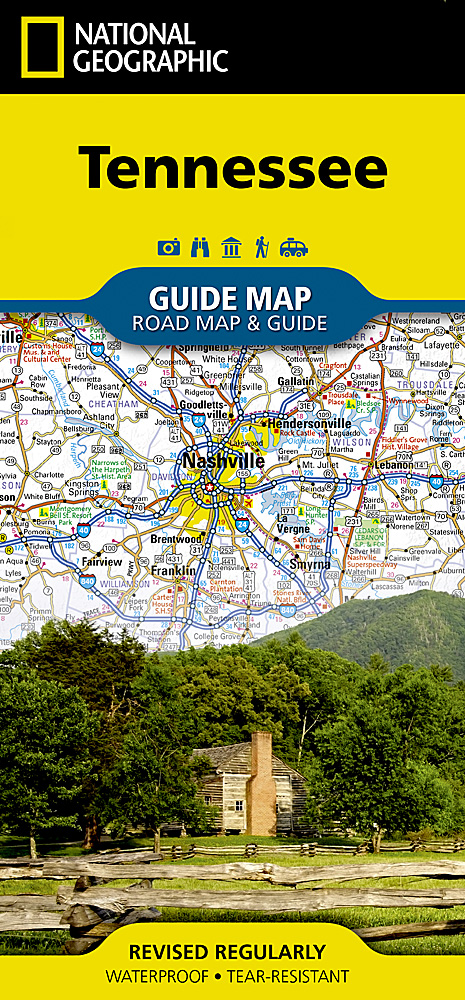
<p> Makkelijk leesbare kaart aan 2 zijden bedrukt. De ene kan met informatie en beperkte stadsplattegronden, de andere met de daadwerkelijke kaart. De kaart is geplastificeerd en dus watervast!</p> <div> National Geographic's Tennessee Guide Map is the ultimate ultimate travel companion to "The Volunteer State," combining a comprehensive road map with an expertly research travel guide. The road network contains designations for free access and toll highways; U.S., state and country routes; paved and unpaved roads; and scenic byways. Mileage markers are shown on major highways and scenic routes have pinpointed wayside stops. An index of cities, towns and counties along with a chart of driving distances will aid in your finding your destination and planning your route.</div> <div> </div> <div> Found on the map are hundreds of points of interest, such as national and state parks, national forests, campgrounds, visitor centers, airports, hospitals, ski areas and much more. City inset maps provide extra detail of Knoxville, Chattanooga, Nashville, Memphis as well as the Land Between the Lakes Recreation Area. Great Smoky Mountains National Park and Natchez Trace Parkway scenic drive are given special coverage including both maps and descriptions. A calendar of events, chart of services at national parks and an overview of points of interest are all provided along with relevant contact information.</div> <div> </div> <div> Every State Guide Map is printed on durable synthetic paper, making them waterproof, tear-resistant and tough — capable of withstanding the rigors of any kind of travel.</div>
€12,95
Bekijk product
<p> Makkelijk leesbare kaart aan 2 zijden bedrukt. De ene kan met informatie en beperkte stadsplattegronden, de andere met de daadwerkelijke kaart. De kaart is geplastificeerd en dus watervast!</p> <p> The front side is an easy-to-read road map with insets of: - Erie - Altoona - Johnstown - Harrisburg - State College - Reading - York - Lancaster - Scranton / Wilkes / Barre - Allentown / Bethlehem The back includes: - Maps and information for Pittsburgh and Philadelphia - Information for Gettysburg National Military Park - Points of interest - Scenic drive - Park Service sites in Pennsylvania</p>
€12,95
Bekijk product
<p> Makkelijk leesbare kaart aan 2 zijden bedrukt. De ene kan met informatie en beperkte stadsplattegronden, de andere met de daadwerkelijke kaart. De kaart is geplastificeerd en dus watervast!</p> <p> The front side is an easy-to-read road map with insets of: - Rochester - Syracuse - Utica - Binghamton - Albany / Schenectady / Troy The back includes: - Map and information for New York City - Map and information for Buffalo / Niagara Falls - Points of interest - Scenic drive - Park Service sites for New York State</p>
€12,95
Bekijk product