
Beantwoord enkele vragen, en binnen seconden geeft AI je een persoonlijk aankoopadvies op maat.
Beantwoord enkele vragen, en binnen seconden geeft AI je een persoonlijk aankoopadvies op maat.

<p> Een degelijke kaart met aanduidingen van o.a. nationale parken, vliegveld, benzinepomp, dirt-roads . Als overzichtskaart prima te gebruiken. Gedrukt op waterproof papier!</p> <p> Folded paper (waterproof), road and travel map in color. Scale 1:920,000. Distinguishes roads ranging from freeways/expressways to other roads (unpaved). Legend includes tracks, railroads, ferry routes, waterfalls, wildlife reserves/game sanctuaries, sites of natural interest, parks or reserves, international airports, national airports, airfields, gas stations, hospitals/medical facilities, campsites/huts, rest houses, hotels, border crossings, UNESCO World Cultural Heritage Sites, UNESCO World Natural Heritage Sites, park gates, beaches, poits of interest, archaeological sites, museums, train/bus stations. Elevation in feet.<br /> About the Author</p>
€13,95
Bekijk product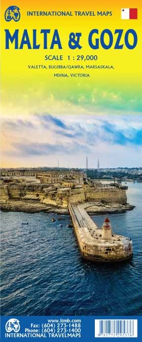
<p> Malta has a spectacular history, combined with a Mediterranean climate and its new status as a member of the EU and a user of the Euro, which makes it extremely attractive for European visitors. In this edition, we threw caution to the winds and converted the artwork into a much-expanded double-sided map at a far better scale than the previous edition. Both major islands are now shown in a much easier print size for easier usage, and insets of Valletta (the capital), Bugibba/Qawra (where most of the hotels are located), Marsaskala, Mdina, and Victoria now grace the map.</p>
€13,95
Bekijk product
<p> This is a brand new title from ITMB. Portland is the largest city in the American state of Oregon. It is not the capital; that distinction belongs to Salem, about 50 miles to the south, but Portland is an actual sea-going port, although it is a hundred miles away from the ocean. It is situated on the majestic Columbia River, which at one time formed the border between British-controlled Canada and the emerging United States. That changed after 1842, with the Oregon Treaty, under which both governments agreed to "share" the territory. At that time, the British capital was Astoria, a lovely town at the mouth of the Columbia, but the Governor, realizing that sharing with the Americans meant capitulation to the Americans, moved the capital north to Victoria, on what was then designated a separate colony. Regardless, today both Portland and the State of Oregon present some of the nicest scenery in America. Our portrayal of the city goes from the Northwest Freemont Bridge in the north (the I-5 motorway) south to Ross Island, and from Washington Park in the west to Chavez Blvd. in the east. At this scale, this encompasses the entire core of Portland and provides room to show the rapid transit line, the convention center, the downtown, and all the bridges across the Willamette River. The reverse side of the street shows the State of Oregon in excellent detail. Most of the developed portion of the State is in the western portion, along the Pacific Ocean, or close to the I-5 motorway. Inland, the Great Sandy Desert occupies much of the southern part of the State, while majestic Mount Hood, an inactive volcano, dominates the North. The far eastern portion connects to the State of Idaho, the north to Washington State, and the south to California and Nevada. The map includes a set of "must see" destinations. My favourite is the Spruce Goos Air Museum in McMinnville.</p>
€13,95
Bekijk product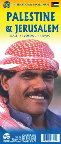
<p> This is a new title for ITMB and the first time a separate map for that portion of the area known as Palestine and controlled by Palestinians has been published. This is essentially an attempt to show a political reality that exists, in that no one denies that both the West Bank and the Gaza Strip exist, albeit as a tightly-controlled entity that is not a country in the traditional sense of the word but is, nonetheless the homeland of millions of people and a self-governing entity. Jerusalem has been shown as an entity, without a border, in order to emphasize its importance as a unifying point of three great religions. Barricades do exist within the city, but these exist mostly to prevent clashes and reduce frictions, and we prefer to concentrate our hopes for Jerusalem as a future symbol of unity. Geographically, to fit both the southerly Gaza Strip area and the northerly West Bank portion together, it has been necessary to include large portions of Israel proper. The border has been shown for purposes of illustration only and in a generalized manner to represent reality and is not intended to indicate what would normally be a properly-defined border between nation states. This part of the world has been called Palestine since Roman times and until a more representative name can be created, we are stuck with using a name that is acceptably used to describe this part of the world. Sometimes, one has to go beyond what is comfortably safe and do something new. ITMB has been doing this since 1983; this is just another leap of faith.</p>
€13,95
Bekijk product
<p> Deze bijzonder gedetailleerde Freytag & Berndt Wegenkaart van het Thüringer Woud – Spessart – Unterfranken heeft een schaal van 1:150.000. Op deze kaart staan o.a. campings, toeristische wegen en bezienwaardigheden aangegeven.</p> <p> Nu met een digitale index - toegang tot alle informatie snel en gemakkelijk op uw mobiele telefoon!</p> <div> Neben der übersichtlichen Gestaltung bietet die Straßenkarte “Thüringer Wald – Spessart – Unterfranken Autokarte 1:150.000” zahlreiche Zusatzinformationen wie z.B. Straßenbeschaffenheit, Sehenswürdigkeiten und Campingplätze.</div> <div> Mit dem umfangreichen digitalen Ortsregister gelingt zudem eine rasche Orientierung.</div> <div> </div> <div> Details: Touristische Informationen, Ortsregister mit Postleitzahlen jetzt digital.</div> <div> </div> <div> Die Autokarte “Thüringer Wald – Spessart – Unterfranken” ist Blatt 7 der Serie Deutschland 1:150.000.</div> <div> </div> <div> Jetzt mit digitalem Index – alle Infos schnell und bequem am Handy abrufen!</div>
€14,95
Bekijk product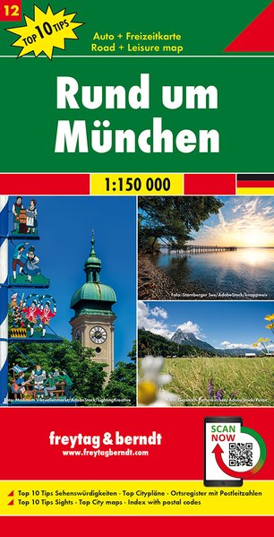
<div> Deze bijzonder gedetailleerde Freytag & Berndt Wegenkaart van München en omgeving heeft een schaal van 1:150.000. Op deze kaart staan o.a. campings, toeristische wegen en bezienwaardigheden aangegeven.</div> <div> </div> <div> Nu met een digitale index - toegang tot alle informatie snel en gemakkelijk op uw mobiele telefoon!</div> <div> </div> <div> <div> Neben der übersichtlichen Gestaltung verfügt die Straßenkarte Rund um München 1:150.000 über zahlreiche Zusatzinformationen wie z.B. Straßenbeschaffenheit, Sehenswürdigkeiten, Campingplätze und diverse Innenstadtpläne. Mit dem umfangreichen Ortsregister gelingt zudem eine rasche Orientierung.</div> <div> </div> <div> Top 10 Tips Sehenswürdigkeiten, Top Citypläne von München und Augsburg, Ortsregister mit Postleitzahlen;</div> <div> </div> <div> Jetzt mit digitalem Beiheft und Index – alle Infos schnell und bequem am Handy abrufen!</div> </div> <p> </p>
€14,95
Bekijk product
<p> Goede stadsplattegrond van Kuala Lumpur. Met register en suburban treinsysteem. De echt verre buitenwijken van deze megastad staan er niet op. Aan de achterzijde een overzichtskaart van het vasteland van Maleisië met een schaal van 730.000</p> <p> Street map of Kuala Lumpur at 1:10,000 covering the city from the Sentul Terminal and the Setapak Park in the north to the Chinese Cemetery in the south, and from the Parliament House (Bangunan Paliament) in the west to the Royal Selangor Golf Club in the east.</p> <p> TDetail includes markets, notable and public buildings, shopping malls, various religious buidings, accommodation, museums, theatres and cinemas, points of interest, post offices and police stations, bus terminals. Various railway systems and pedestrian roads are also indicated alongside land use, e.g. parks, markets, industrial areas, attractions, etc.</p> <p> Includes an extensive index of place names.</p> <p> </p>
€13,95
Bekijk product
<p> Zoals je van Michelin mag verwachten is deze kaart zeer overzichtelijk en heeft een duidelijk helder kaartbeeld. De kaart geeft uitgebreide toeristische informatie weer. De perfecte overzichtskaart van alleen de noordelijke helft van Frankrijk.</p> <p> Michelin’s annually updated coverage of France at 1:1,000,000, available as two folded maps or two different format pocket atlases covering the whole country, plus as separate maps of just the northern or the southern half.</p> <div> The mapping emphasizes the network of motorways and dual carriageway roads with motorway characteristics, distinguishing by colouring between charge-free and toll sections. Junctions are shown with numbers, indicating complete or limited interchanges. Other roads are classified according to their width and density of traffic. Driving distances are given on all routes except on small local roads. Scenic routes are highlighted and gradient marking shows steep roads.</div> <div> </div> <div> Railway lines are not included. Small symbols indicate some places of interest, but the maps are not designed to highlight tourist sights or amenities. Topography is shown by relief shading, with boundaries of national/regional parks. The maps have no geographical coordinates. All the versions are indexed. Map legend includes English</div> <div> </div> <div> Brest, Dijon, France, Lille Stasbourg, Paris, Rennes</div>
€11,95
Bekijk product
<p> Scale 1:12,500/1:950,000,</p> <p> This new ITMB map should really be called Auckland, Wellington, Christchurch and the North Island of New Zealand, but that’s too long a title. However, in addition to Auckland, the cities of Wellington and Christchurch are included on one side of the map (NZ urban areas don’t tend to be huge). The other side is a very detailed map of North Island, the main island of the country. This map will be perfect for both finding one’s way around Auckland’s waterfront and for exploring the highways and byways, communing with woolies; printed double-sided on paper</p>
€13,95
Bekijk product
<p> Een degelijke kaart voor Brazilië zuid en de oostkust met aanduidingen van o.a. nationale parken, vliegveld, benzinepomp, dirt-roads en kleine plattegronden van Rio de Janeiro, Sao Paulo, Salvador en Recife. Als overzichtskaart goed te gebruiken.</p> <p> Brasil is such a large country that it needs two maps to cover it adequately. This map covers the country from the southernmost point to Sao Luis on the northern coast and inland as far as Brasilia. This is where 80% of the country lives and where 95% of the tourists visit. The interior and Amazon region will be covered separately. This map includes separate inset maps of both Rio and Sao Paulo and shows the extensive motorway network of Brasil to good advantage. The top attractions of the region are noted, such as Iguazu Falls, Sugar Loaf, Brasilia, and Salvador.</p> <p> </p>
€13,95
Bekijk product