
Beantwoord enkele vragen, en binnen seconden geeft AI je een persoonlijk aankoopadvies op maat.
Beantwoord enkele vragen, en binnen seconden geeft AI je een persoonlijk aankoopadvies op maat.
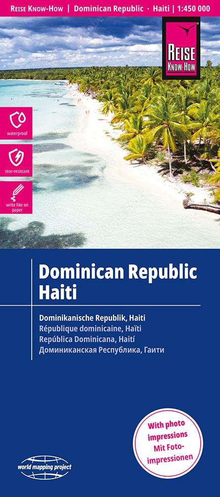
<div> Tweetalige kaart (Engels en Duits) van de Dominicaanse Republiek en Haïti. Door ingetekende lengte- en breedtegraden is het gebruik van GPS mogelijk. Met hoogtelijnen en uitgebreid wegennetwerk: daarnaast worden ook de afstanden tussen belangrijke plaatsen duidelijk leesbaar weergegeven. Het kleurgebruik is zodanig dat je een goede indruk krijgt van hoogteverschillen en soorten landschap. Natuurlijk staan de toeristische bezienswaardigheden duidelijk vermeld.</div> <div> </div> <div> Gedrukt op water- en scheurvast papier! Polyart is een synthetisch product vrij van giftige stoffen dus duurzaam. Het papier gaat echt lang mee.</div> <div> </div> <div> Topography is indicated by altitude colouring with numerous spot heights and names of mountain ranges and passes. Salt lakes, swamps, seasonal rivers and glacier are also shown. Detailed presentation of the road network includes minor roads and tracks and railways are also shown.</div> <div> </div> <div> Internal administrative units are presented with their boundaries and names. National parks and other protected areas are highlighted. A wide range of symbols mark various places of interest. Map legends include English and all the maps have an index of localities.</div> <p> </p>
€17,95
Bekijk product
<div> Tweetalige kaart (Engels en Duits) van Ecuador en de Galapagos eilanden. Door ingetekende lengte- en breedtegraden is het gebruik van GPS mogelijk. Met hoogtelijnen en uitgebreid wegennetwerk: daarnaast worden ook de afstanden tussen belangrijke plaatsen duidelijk leesbaar weergegeven. Het kleurgebruik is zodanig dat je een goede indruk krijgt van hoogteverschillen en soorten landschap. Natuurlijk staan de toeristische bezienswaardigheden duidelijk vermeld. Ecuador op schaal 1:650.000 en de Galapagos eilanden op schaal 1: 1.000.000</div> <div> </div> <div> Gedrukt op water- en scheurvast papier! Polyart is een synthetisch product vrij van giftige stoffen dus duurzaam. Het papier gaat echt lang mee.</div> <div> </div> <div> Topography is indicated by altitude colouring with numerous spot heights and names of mountain ranges and passes. Salt lakes, swamps, seasonal rivers and glacier are also shown. Detailed presentation of the road network includes minor roads and tracks and railways are also shown.</div> <div> </div> <div> Internal administrative units are presented with their boundaries and names. National parks and other protected areas are highlighted. A wide range of symbols mark various places of interest. Map legends include English and all the maps have an index of localities.</div> <p> </p>
€13,95
Bekijk product
<div> Tweetalige kaart (Engels en Duits). Door ingetekende lengte- en breedtegraden is het gebruik van GPS mogelijk. Met hoogtelijnen en uitgebreid wegennetwerk: daarnaast worden ook de afstanden tussen belangrijke plaatsen duidelijk leesbaar weergegeven. Het kleurgebruik is zodanig dat je een goede indruk krijgt van hoogteverschillen en soorten landschap. Natuurlijk staan de toeristische bezienswaardigheden duidelijk vermeld.</div> <div> </div> <div> Gedrukt op water- en scheurvast papier! Polyart is een synthetisch product vrij van giftige stoffen dus duurzaam. Het papier gaat echt lang mee.</div> <div> </div> <div> Topography is indicated by altitude colouring with numerous spot heights and names of mountain ranges and passes. Salt lakes, swamps, seasonal rivers and glacier are also shown. Detailed presentation of the road network includes minor roads and tracks and railways are also shown.</div> <div> </div> <div> Internal administrative units are presented with their boundaries and names. National parks and other protected areas are highlighted. A wide range of symbols mark various places of interest. Map legends include English and all the maps have an index of localities.</div> <p> </p>
€11,50
Bekijk product
<div> Tweetalige kaart (Engels en Duits). Door ingetekende lengte- en breedtegraden is het gebruik van GPS mogelijk. Met hoogtelijnen en uitgebreid wegennetwerk: daarnaast worden ook de afstanden tussen belangrijke plaatsen duidelijk leesbaar weergegeven. Het kleurgebruik is zodanig dat je een goede indruk krijgt van hoogteverschillen en soorten landschap. Natuurlijk staan de toeristische bezienswaardigheden duidelijk vermeld.</div> <div> </div> <div> Gedrukt op water- en scheurvast papier! Polyart is een synthetisch product vrij van giftige stoffen dus duurzaam. Het papier gaat echt lang mee.</div> <div> </div> <div> Topography is indicated by altitude colouring with numerous spot heights and names of mountain ranges and passes. Salt lakes, swamps, seasonal rivers and glacier are also shown. Detailed presentation of the road network includes minor roads and tracks and railways are also shown.</div> <div> </div> <div> Internal administrative units are presented with their boundaries and names. National parks and other protected areas are highlighted. A wide range of symbols mark various places of interest. Map legends include English and all the maps have an index of localities.</div> <div> </div> <div> <strong>Plaatsen op de kaart</strong></div> <div> <div> Miami</div> <div> Orlando</div> <div> Jacksonville</div> <div> Tampa</div> <div> Fort Lauderdale</div> <div> Tallahassee</div> <div> St. Petersburg</div> <div> Naples</div> <div> Key West</div> <div> Sarasota</div> </div> <p> </p>
€11,50
Bekijk product
<div> Tweetalige kaart (Engels en Duits). Door ingetekende lengte- en breedtegraden is het gebruik van GPS mogelijk. Met hoogtelijnen en uitgebreid wegennetwerk: daarnaast worden ook de afstanden tussen belangrijke plaatsen duidelijk leesbaar weergegeven. Het kleurgebruik is zodanig dat je een goede indruk krijgt van hoogteverschillen en soorten landschap. Natuurlijk staan de toeristische bezienswaardigheden duidelijk vermeld.</div> <div> </div> <div> Gedrukt op water- en scheurvast papier! Polyart is een synthetisch product vrij van giftige stoffen dus duurzaam. Het papier gaat echt lang mee.</div> <div> </div> <div> Topography is indicated by altitude colouring with numerous spot heights and names of mountain ranges and passes. Salt lakes, swamps, seasonal rivers and glacier are also shown. Detailed presentation of the road network includes minor roads and tracks and railways are also shown.</div> <div> </div> <div> Internal administrative units are presented with their boundaries and names. National parks and other protected areas are highlighted. A wide range of symbols mark various places of interest. Map legends include English and all the maps have an index of localities.</div> <p> </p>
€11,50
Bekijk product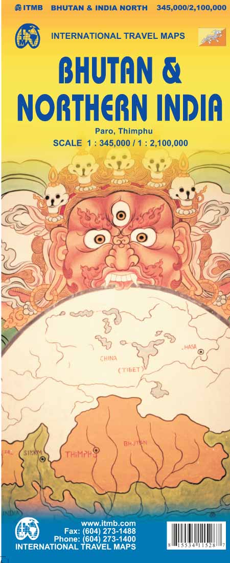
<p> Een degelijke kaart met aanduidingen van o.a. nationale parken, vliegveld, benzinepomp, dirt-roads en kleine plattegronden van Thimphu, Paro en Calcutta. Als overzichtskaart goed te gebruiken.</p> <div> </div> <div> De ene kant van de kaart heeft Bhutan erop staan, met een schaal van 1:35.000. De andere kant van de kaart omvat noordoost India. Schaal 1:1.300.000 </div> <div> </div> <div> Bhutan is a beautiful mountainous country, squeezed between India and China. It is not a part of the world experiencing significant change, and this version is pretty much the same as our previous one, although updated with minor changes. Printed double-sided, with Northeast India on the other side.</div> <div> </div> <div> Legend Includes:</div> <div> Roads by classification, Express Way, National Highway, Major Highway, Secondary Road, Other road/track, Railway, Ferry Route , State Boundary, Undefined Boundary, River and Lake, Glacier, Desert/ swamp, Mountain peak, Pass, Historical Site, Monument, Bhuddist Monument, Radio Tower, Post Office, Police Station, Hospital, Library, Embassy, Gas Station, Bank, Shopping Centre/Market, Fort, Lighthouse, Broadcasting Station, Telephone, Camping Site, Hostel, Notable Building, Cinema, School, Bus Terminal, Stadium, International Airport, Domestic airport, Harbour, Ferry, Border Crossing, Bridge, Resort, Notable building, Monastery, Bhuddist Temple, Hindhu Temple, Palace, Tourists info Center, Beach, Cave, Crosscounty Skiing, Garden, Golf Course, Hill Station, Ruins, rafting, Viewpoint, Wildlife Reserve, Zoo, Point of Interest, Natural point of interest, Cultural World Heritage Site, Natural world Heritage Site, Northern India Population, Capital and much more</div> <div> </div> <div> </div> <div> </div> <div> </div>
€13,95
Bekijk product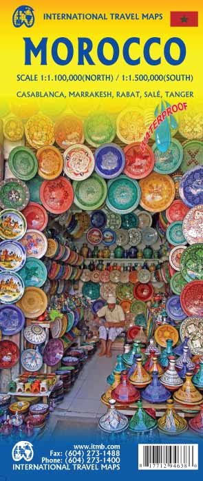
<p> Een degelijke kaart met aanduidingen van o.a. nationale parken, vliegveld, benzinepomp, dirt-roads. Als overzichtskaart goed te gebruiken.</p> <p> One of the most stable and attractive Arabic countries for visitors is Morocco. The sea crossing from Spain is short, and travel facilities for visitors arriving by air are modern. We have updated our map to show the latest road improvements and have prepared insets of Casablanca, Marrakesh, Rabat/Sale, and Tangier. We have visited Morocco three times in recent years and have always found the people to be hospitable, the accommodations satisfactory, the food excellent, and the scenery superlative. We have printed the map on durable ITM plastic paper.</p> <div> Legend Includes:</div> <div> Roads by classification, airports, ferry Routes, bus stations, train stations, parks, points of interest, post offices, hospitals, border crossings, churches, mosques, oases, golf courses, embassies, banks, restaurants, schools, parking, museums, cinemas, accommodations, beaches, lighthouses, hot springs, mining, ruins, forts, caves, world heritage sites,libraries,gas stations,campsites police stations and more.</div>
€13,95
Bekijk product
<p> Goede wegenkaart van British Columbia met Nationale Parken, Overnachtingsmogelijkheden, Ski gebieden en bezienswaardigheden.</p> <div> Gem Trek’s Southwest British Columbia & Northern Washington map meets the needs of visitors looking to explore the lower mainland of British Columbia and the northern section of Washington state.</div> <div> </div> <div> All the major highways are shown, as well as national, provincial, and state parks and wilderness areas. The map also shows lesser-known back roads, and pinpoints the location of lodges, campgrounds and hot springs. Mileage charts on the front and back provide distances between major towns and cities.</div> <div> </div> <div> The Southwest British Columbia & Northern Washington map covers all of Vancouver Island and extends west through the city of Vancouver and the Okanagan Valley to the Kootenays. South of the border, Washington state is covered from the Gulf Islands in the west to Spokane in the east, with coverage as far south as Mount Rainer National Park.</div> <div> </div> <div> <div> The Southwest British Columbia & Northern Washington map includes:</div> <div> </div> <div> full colour on both sides</div> <div> national and provincial parks</div> <div> cities, towns, and villages</div> <div> campgrounds</div> </div> <p> </p>
€8,95
Bekijk product
<p> Goede deelkaart van een stuk van de populaire turkse kust: Antalya-Side-Alanya. Met veel details als bezienswaardigheden, campings etc mooie stranden. Met register.</p> <p> De berijdbare wegen zijn goed weergeven, zowel de hoofdwegen als provinciale en lokale wegen; wegnummers worden vermeld. Afstanden tussen plaatsen zijn in kilometers op de kaart ingetekend, daarnaast worden ook op belangrijke plekken benzinepompen gemarkeerd.</p> <p> In het kaartbeeld wordt door middel van schaduw het reliëf weergegeven en soms enkele punten in het landschap met de daadwerkelijke hoogte. Provinciegrenzen zijn goed terug te vinden, nationale parken en reservaten ook. Met allerhande symbolen worden toeristische bezienswaardigheden weergegeven als monumenten, historisch belangrijke plekken en uitzichtpunten. In bepaalde plaatsen zijn hotels en campings te vinden, luchthavens, treinverbindingen en havens vindt u er ook op!</p>
€14,95
Bekijk product